Medium airport · Russia

Grabtsevo AirportUUBC
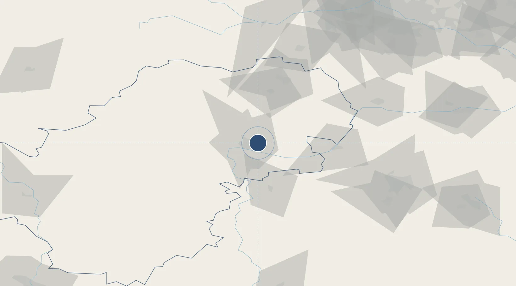
54.5500°, 36.3667°
6,885 ft
Longest runway
1
Runways
656 ft
Elevation

Runway & Layout

Grabtsevo Airport runway & taxiway layout
Runway & taxiway layout — OpenStreetMap (ODbL) / OurAirports

Runways · 1

RunwayDimensions SurfaceTrue headingLit
13/31 6,885 × 131ft Asphalt
OurAirports

Airport Specifications

IATA code
KLF
OurAirports
ICAO code
UUBC
OurAirports
Airport class
Medium airport
OurAirports
Scheduled service
No
OurAirports
Runway surface
Asphalt
OurAirports
Served city
Kaluga
OurAirports

Location

Location of UUBC
Natural Earth 10m (public domain) · Kaluga · UUBC · 54.55, 36.37GoogleOSMYandex

Nearby Logistics Neighbours

Airports
  1. 1Oreshkovo Airfield21 km
  2. 2Yermolino Air Base77 km
  3. 3Kubinka Air Base119 km
  4. 4Vnukovo International Airport129 km
  5. 5Shaykovka Air Base134 km
Nearest neighbours — logibook spatial index (haversine) over the source coordinates
Cities
  1. 1Kaluga6 km
  2. 2Obninsk61 km
  3. 3Sosenskiy62 km
  4. 4Vorsino76 km
  5. 5Serpukhov78 km
Nearest neighbours — logibook spatial index (haversine) over the source coordinates
Ports
  1. 1Lomonosov716 km
  2. 2Kronshtadt722 km
  3. 3Ust Luga747 km
  4. 4Primorsk794 km
  5. 5Gavan Vysotsk818 km
Nearest neighbours — logibook spatial index (haversine) over the source coordinates
Trade Zones
  1. 1Kalúga SEZ(Lyudinovo SEZ and Borovsk SEZ)73 km
  2. 2Borovsk Special Economic Zone73 km
  3. 3Stupino Quadrat Special Economic Zone120 km
  4. 4Uzlovaya Special Economic Zone125 km
  5. 5Lyudinovo Special Economic Zone146 km
Nearest neighbours — logibook spatial index (haversine) over the source coordinates
DatabookThe Record of Consolidated Knowledge
Russia beyond logistics?
Browse databook

All Sources

AirportsOurAirports
Public domain
Portsthe NGA World Port Index
Public domain (US gov)
LocationsUN/LOCODE
UN/LOCODE — free
Trade Zonesthe World Bank SEZ database
CC BY 4.0
Trade ZonesOpen Zone Map
CC BY
InfrastructureOpenStreetMap
ODbL 1.0
← Russia airports