Transport Functions
Rail
Road
Hub Profile
Place type
Provincial seat
Region
Moscow Oblast
Population
60,999
Time zone
Europe/Moscow
Elevation
184 m
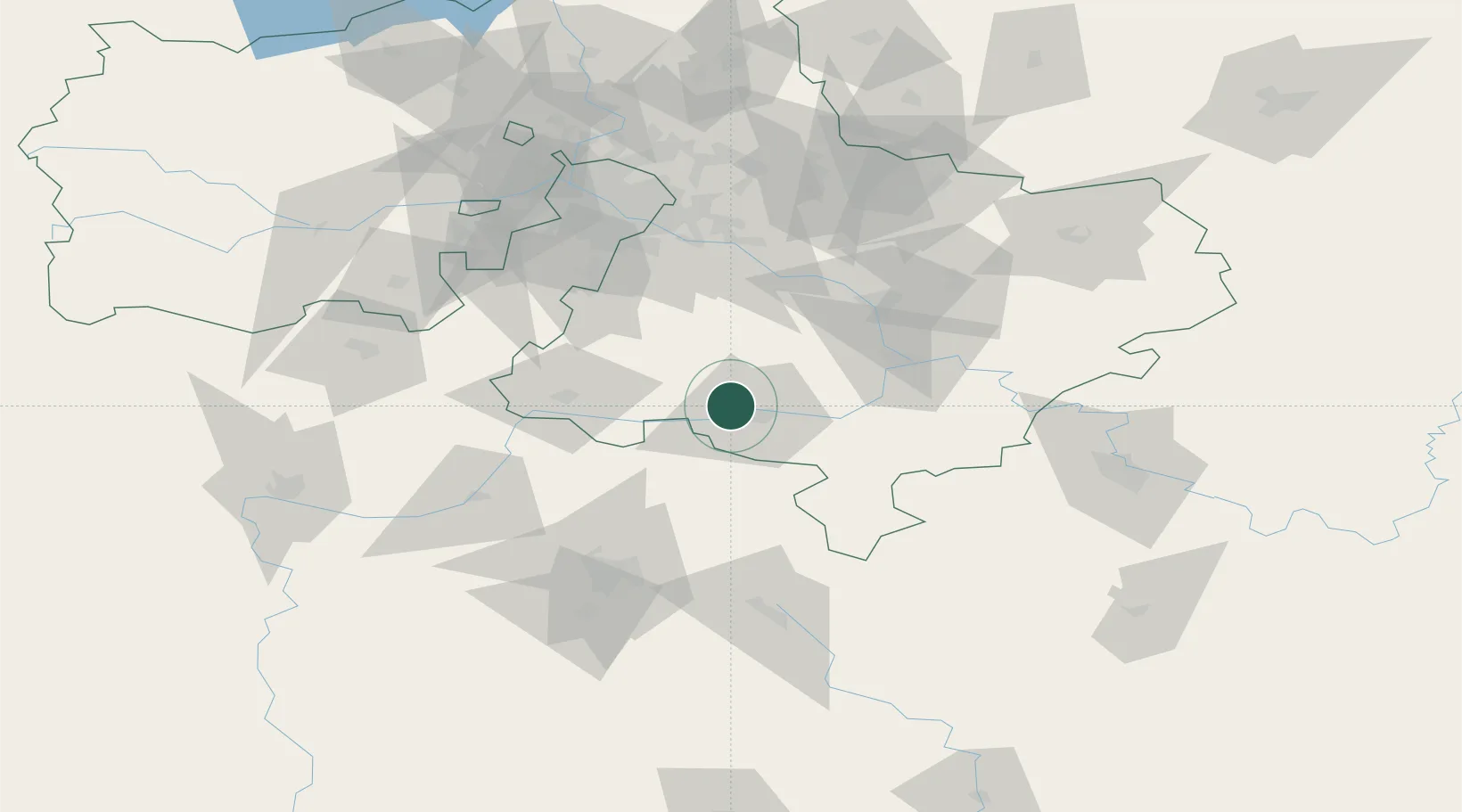
Location
Nearby Logistics Neighbours
Ports
- 1Lomonosov750 km
- 2Kronshtadt754 km
- 3Ust Luga792 km
- 4Primorsk830 km
- 5Gavan Vysotsk851 km
Airports
DatabookThe Record of Consolidated Knowledge
Russia beyond logistics?