Transport Functions
Port
Rail
Road
Hub Profile
Place type
Provincial seat
Region
Tula Oblast
Population
130,982
Time zone
Europe/Moscow
Elevation
238 m
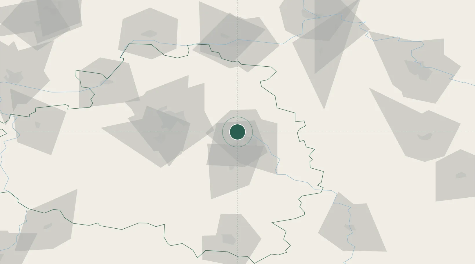
Location
Nearby Logistics Neighbours
Cities
- 1Medvenka37 km
- 2Pereslavl-Zalesskiy59 km
- 3Kazinka82 km
- 4Kashira83 km
- 5Zaraysk86 km
Ports
- 1Taganrog767 km
- 2Rostov-Na-Donu777 km
- 3Mariupol780 km
- 4Azov782 km
- 5Yeysk817 km
Airports
- 1Tretyakovo Airport106 km
- 2Dyagilevo Air Base109 km
- 3Grabtsevo Airport129 km
- 4Oreshkovo Airfield144 km
- 5Domodedovo International Airport149 km
Trade Zones
DatabookThe Record of Consolidated Knowledge
Russia beyond logistics?