UN/LOCODE hub · Russia
RUMYP

Mariinskiy Posad

56.1000°, 47.7167°
10,199
Population
1
Transport functions

Transport Functions

Multimodal
UN/LOCODE

Hub Profile

Place type
Populated place
GeoNames
Region
Chuvash Republic
GeoNames
Population
10,199
GeoNames
Time zone
Europe/Moscow
GeoNames
Elevation
85 m
GeoNames

Location

Location of RUMYP
Natural Earth 10m (public domain) · Chuvash Republic · RUMYP · 56.10, 47.72GoogleOSMYandex

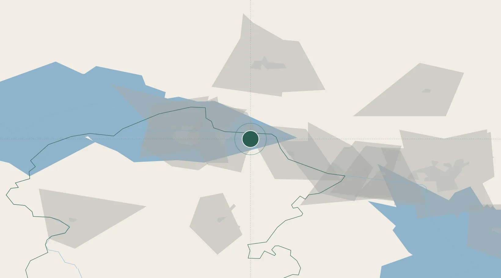
Nearby Logistics Neighbours

Cities
  1. 1Cheboksary30 km
  2. 2Shelanger35 km
  3. 3Volzhsk45 km
  4. 4Zelënodol'sk58 km
  5. 5Vetluzhskiy198 km
Nearest neighbours — logibook spatial index (haversine) over the source coordinates
Ports
  1. 1Arkhangels'k1016 km
  2. 2Severodvinsk1037 km
  3. 3Mezen1099 km
  4. 4Rostov-Na-Donu1135 km
  5. 5Azov1151 km
Nearest neighbours — logibook spatial index (haversine) over the source coordinates
Airports
  1. 1Cheboksary Airport23 km
  2. 2Danilovo Air Base65 km
  3. 3Yoshkar-Ola Airport68 km
  4. 4Borisoglebskoye Airport92 km
  5. 5Kazan International Airport112 km
Nearest neighbours — logibook spatial index (haversine) over the source coordinates
DatabookThe Record of Consolidated Knowledge
Russia beyond logistics?
Browse databook

All Sources

LocationsUN/LOCODE
UN/LOCODE — free
LocationsGeoNames
CC BY 4.0
Portsthe NGA World Port Index
Public domain (US gov)
AirportsOurAirports
Public domain
Trade Zonesthe World Bank SEZ database
CC BY 4.0
Trade ZonesOpen Zone Map
CC BY
← Russia locations