UN/LOCODE hub · Russia
RUMSL

Shelanger

56.2167°, 48.2333°
1
Transport functions

Transport Functions

Multimodal
UN/LOCODE

Hub Profile

Place type
Populated place
GeoNames
Region
Mariy-El Republic
GeoNames
Time zone
Europe/Moscow
GeoNames
Elevation
128 m
GeoNames

Location

Location of RUMSL
Natural Earth 10m (public domain) · Mariy-El Republic · RUMSL · 56.22, 48.23GoogleOSMYandex

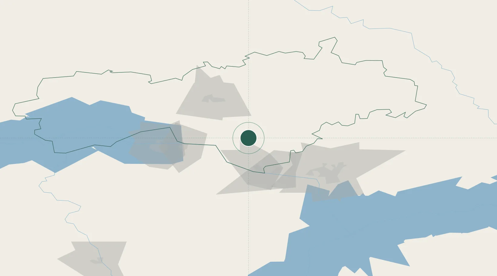
Nearby Logistics Neighbours

Cities
  1. 1Mariinskiy Posad35 km
  2. 2Volzhsk43 km
  3. 3Zelënodol'sk46 km
  4. 4Cheboksary63 km
  5. 5Baskan174 km
Nearest neighbours — logibook spatial index (haversine) over the source coordinates
Ports
  1. 1Arkhangels'k1015 km
  2. 2Severodvinsk1037 km
  3. 3Mezen1091 km
  4. 4Rostov-Na-Donu1163 km
  5. 5Azov1180 km
Nearest neighbours — logibook spatial index (haversine) over the source coordinates
Airports
  1. 1Danilovo Air Base51 km
  2. 2Cheboksary Airport57 km
  3. 3Yoshkar-Ola Airport58 km
  4. 4Borisoglebskoye Airport68 km
  5. 5Kazan International Airport94 km
Nearest neighbours — logibook spatial index (haversine) over the source coordinates
DatabookThe Record of Consolidated Knowledge
Russia beyond logistics?
Browse databook

All Sources

LocationsUN/LOCODE
UN/LOCODE — free
Portsthe NGA World Port Index
Public domain (US gov)
AirportsOurAirports
Public domain
Trade Zonesthe World Bank SEZ database
CC BY 4.0
Trade ZonesOpen Zone Map
CC BY
← Russia locations