Transport Functions
Rail
Road
Multimodal
Hub Profile
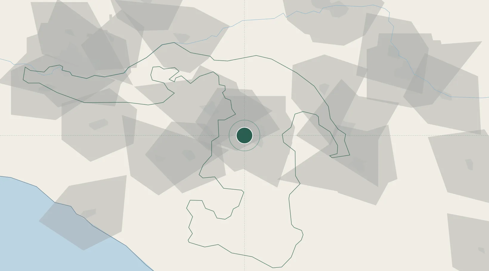
Place type
Regional capital
Region
Adygeya Republic
Population
141,970
Time zone
Europe/Moscow
Elevation
228 m
Location
Nearby Logistics Neighbours
Cities
- 1Belorechensk25 km
- 2Apsheronsk34 km
- 3Kurganinsk49 km
- 4Labinsk52 km
- 5Kropotkin100 km
Ports
- 1Tuapse98 km
- 2Sochi117 km
- 3Gelendzhik160 km
- 4Novorossiysk182 km
- 5Sokhumi194 km
Airports
- 1Khanskaya Air Base10 km
- 2Krasnodar Pashkovsky International Airport87 km
- 3Krasnodar Central Air Base105 km
- 4Sochi International Airport128 km
- 5Gelendzhik Airport164 km
Trade Zones
DatabookThe Record of Consolidated Knowledge
Russia beyond logistics?