Transport Functions
Rail
Road
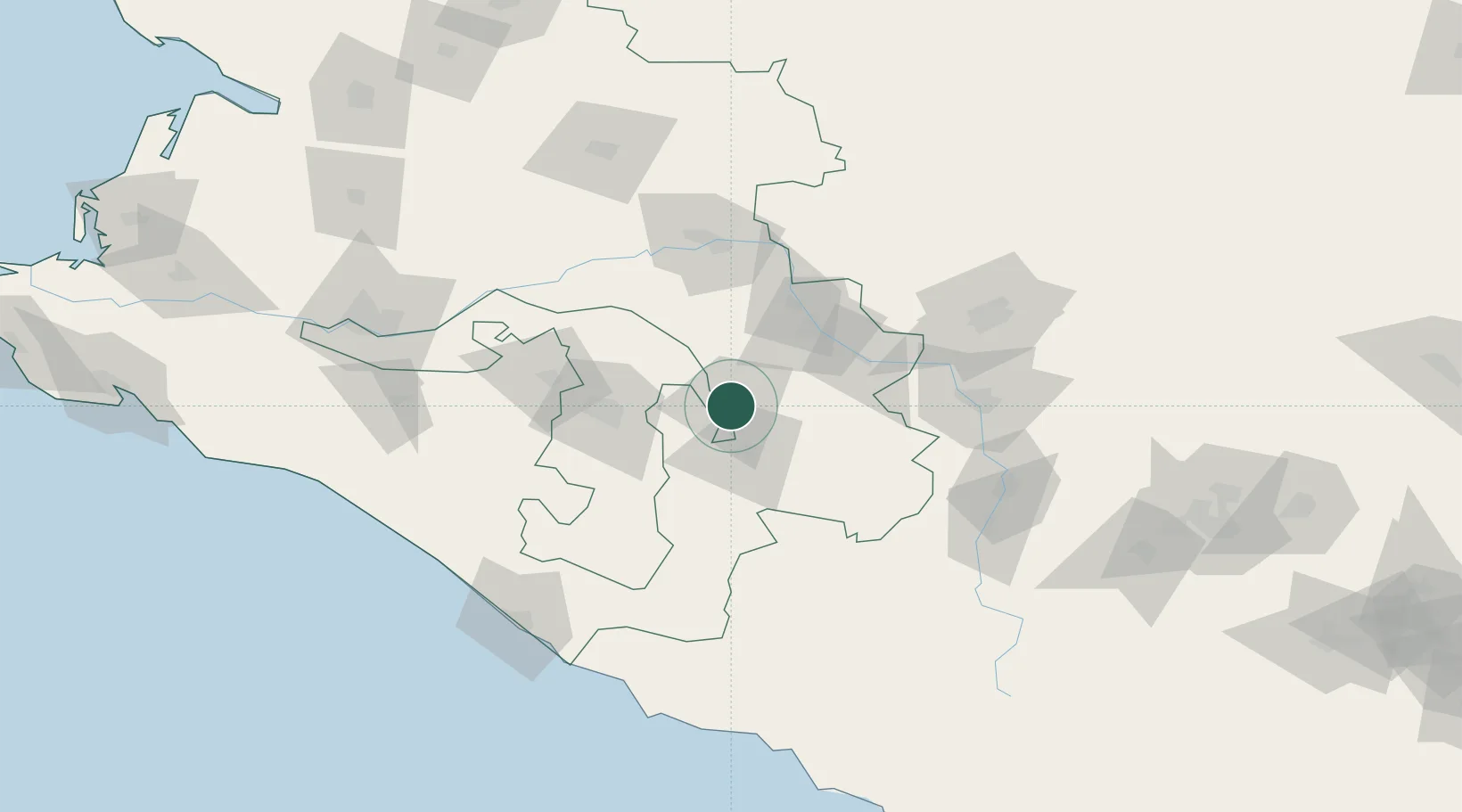
Hub Profile
Place type
Provincial seat
Region
Krasnodar Krai
Population
61,945
Time zone
Europe/Moscow
Elevation
277 m
Location
Nearby Logistics Neighbours
Cities
- 1Kurganinsk29 km
- 2Maykop52 km
- 3Belorechensk70 km
- 4Apsheronsk83 km
- 5Kropotkin90 km
Ports
- 1Sochi141 km
- 2Tuapse145 km
- 3Sokhumi185 km
- 4Gelendzhik211 km
- 5Novorossiysk233 km
Airports
Trade Zones
DatabookThe Record of Consolidated Knowledge
Russia beyond logistics?