UN/LOCODE hub · Russia
RUAPS

Apsheronsk

44.4500°, 39.7167°
40,451
Population
2
Transport functions

Transport Functions

Rail
Road
UN/LOCODE

Hub Profile

Place type
Provincial seat
GeoNames
Region
Krasnodar Krai
GeoNames
Population
40,451
GeoNames
Time zone
Europe/Moscow
GeoNames
Elevation
203 m
GeoNames

Location

Location of RUAPS
Natural Earth 10m (public domain) · Krasnodar Krai · RUAPS · 44.45, 39.72GoogleOSMYandex

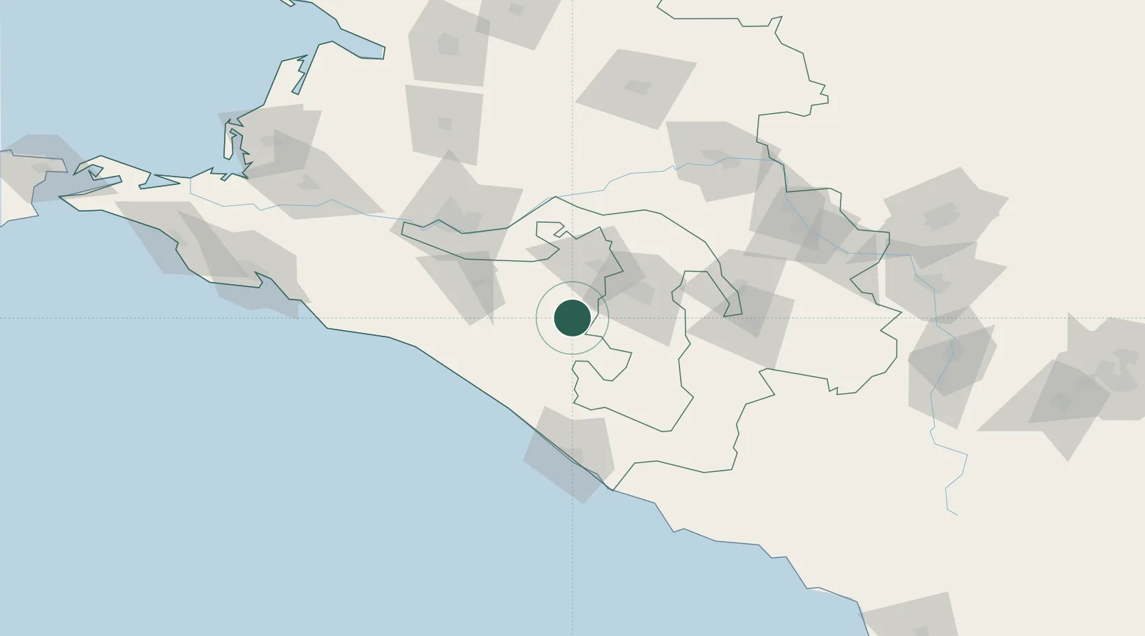
Nearby Logistics Neighbours

Cities
  1. 1Maykop34 km
  2. 2Belorechensk37 km
  3. 3Kurganinsk83 km
  4. 4Labinsk83 km
  5. 5Severskaya94 km
Nearest neighbours — logibook spatial index (haversine) over the source coordinates
Ports
  1. 1Tuapse65 km
  2. 2Sochi96 km
  3. 3Gelendzhik131 km
  4. 4Novorossiysk156 km
  5. 5Sokhumi192 km
Nearest neighbours — logibook spatial index (haversine) over the source coordinates
Airports
  1. 1Khanskaya Air Base36 km
  2. 2Krasnodar Pashkovsky International Airport78 km
  3. 3Krasnodar Central Air Base93 km
  4. 4Sochi International Airport113 km
  5. 5Gelendzhik Airport136 km
Nearest neighbours — logibook spatial index (haversine) over the source coordinates
Trade Zones
  1. 1Kulevi Free Industrial Zone288 km
  2. 2Poti Free Industrial Zone297 km
  3. 3Azov Economic Zone337 km
  4. 4Kutaisi Free Industrial Zone - Fresh Georgia, LLC.338 km
  5. 5Kutaisi Free Industrial Zone (Hualing)338 km
Nearest neighbours — logibook spatial index (haversine) over the source coordinates
DatabookThe Record of Consolidated Knowledge
Russia beyond logistics?
Browse databook

All Sources

LocationsUN/LOCODE
UN/LOCODE — free
LocationsGeoNames
CC BY 4.0
Portsthe NGA World Port Index
Public domain (US gov)
AirportsOurAirports
Public domain
Trade Zonesthe World Bank SEZ database
CC BY 4.0
Trade ZonesOpen Zone Map
CC BY
← Russia locations