Transport Functions
Multimodal
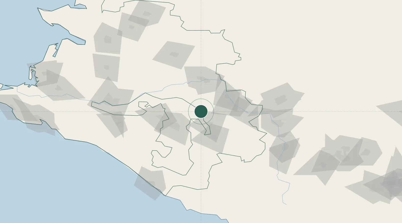
Hub Profile
Place type
Provincial seat
Region
Krasnodar Krai
Population
47,681
Time zone
Europe/Moscow
Elevation
169 m
Location
Nearby Logistics Neighbours
Cities
- 1Labinsk29 km
- 2Maykop49 km
- 3Belorechensk58 km
- 4Kropotkin63 km
- 5Apsheronsk83 km
Ports
- 1Tuapse148 km
- 2Sochi158 km
- 3Gelendzhik202 km
- 4Sokhumi212 km
- 5Novorossiysk222 km
Airports
Trade Zones
DatabookThe Record of Consolidated Knowledge
Russia beyond logistics?