Transport Functions
Multimodal
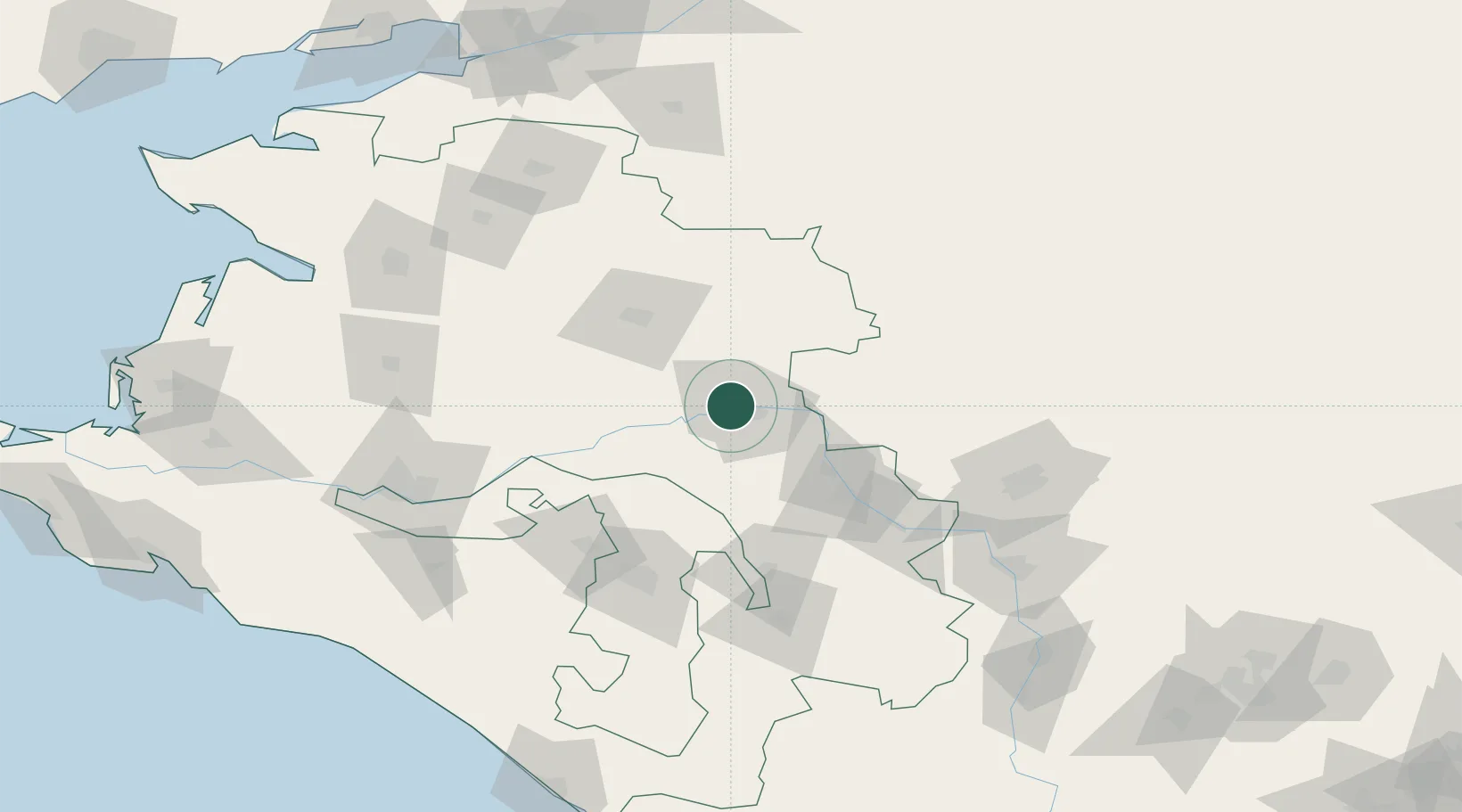
Hub Profile
Place type
Provincial seat
Region
Krasnodar Krai
Population
79,599
Time zone
Europe/Moscow
Elevation
78 m
Location
Nearby Logistics Neighbours
Cities
- 1Kurganinsk63 km
- 2Labinsk90 km
- 3Belorechensk92 km
- 4Maykop100 km
- 5Apsheronsk128 km
Ports
- 1Tuapse190 km
- 2Rostov-Na-Donu204 km
- 3Azov205 km
- 4Sochi216 km
- 5Gelendzhik220 km
Airports
Trade Zones
DatabookThe Record of Consolidated Knowledge
Russia beyond logistics?