Transport Functions
Rail
Road
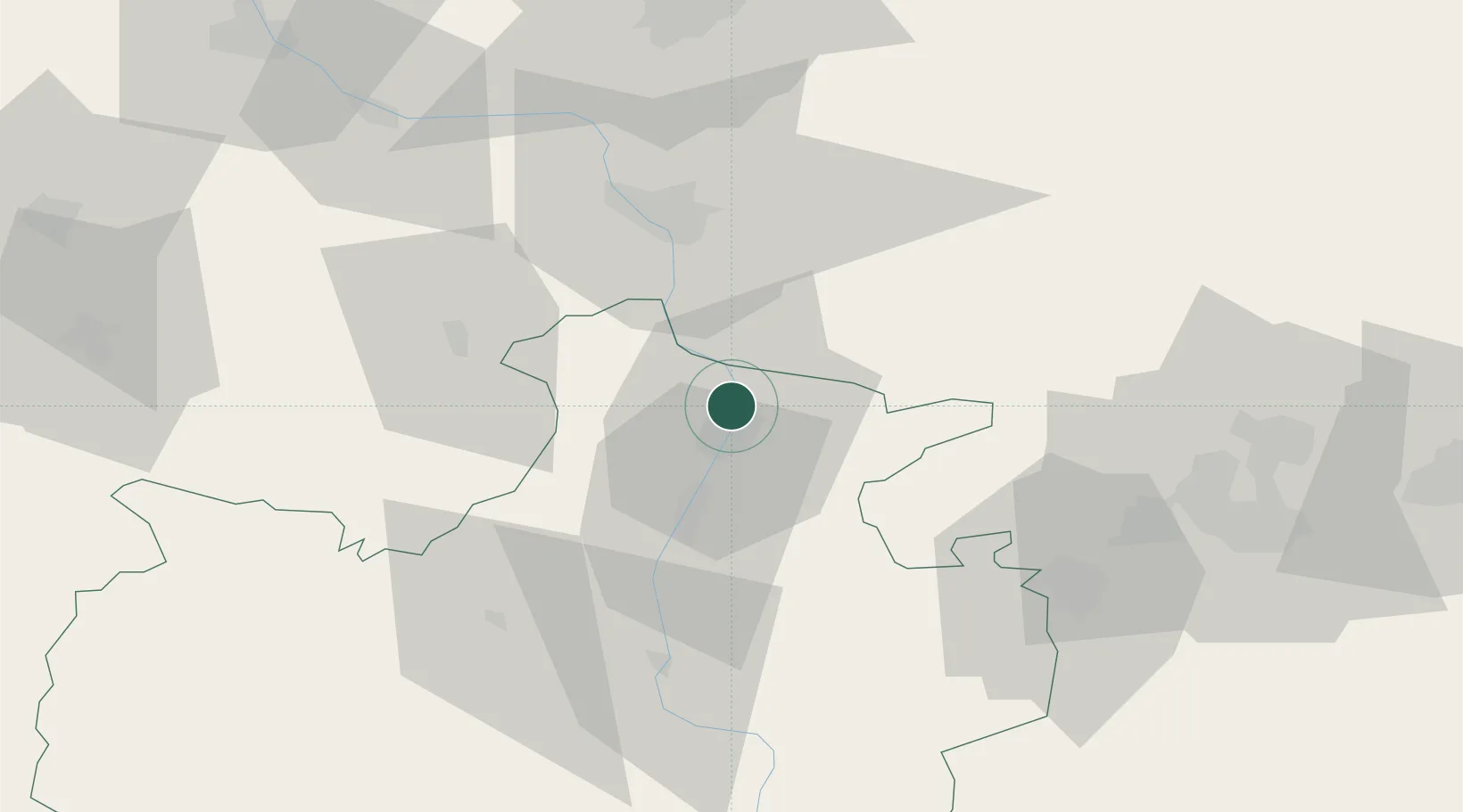
Hub Profile
Place type
Regional capital
Region
Karachayevo-Cherkesiya Republic
Population
122,395
Time zone
Europe/Moscow
Elevation
544 m
Location
Nearby Logistics Neighbours
Cities
- 1Nevinnomyssk38 km
- 2Pyatigorsk85 km
- 3Labinsk112 km
- 4Georgievsk114 km
- 5Kurganinsk133 km
Ports
- 1Sokhumi168 km
- 2Sochi201 km
- 3Tuapse239 km
- 4Supsa Marine Terminal244 km
- 5Batumi295 km
Airports
- 1Mineralnye Vody Airport82 km
- 2Stavropol Shpakovskoye Airport92 km
- 3Mestia Queen Tamar Airport148 km
- 4Nalchik Airport153 km
- 5Khanskaya Air Base166 km
Trade Zones
DatabookThe Record of Consolidated Knowledge
Russia beyond logistics?