Transport Functions
Multimodal
Hub Profile
Region
STA
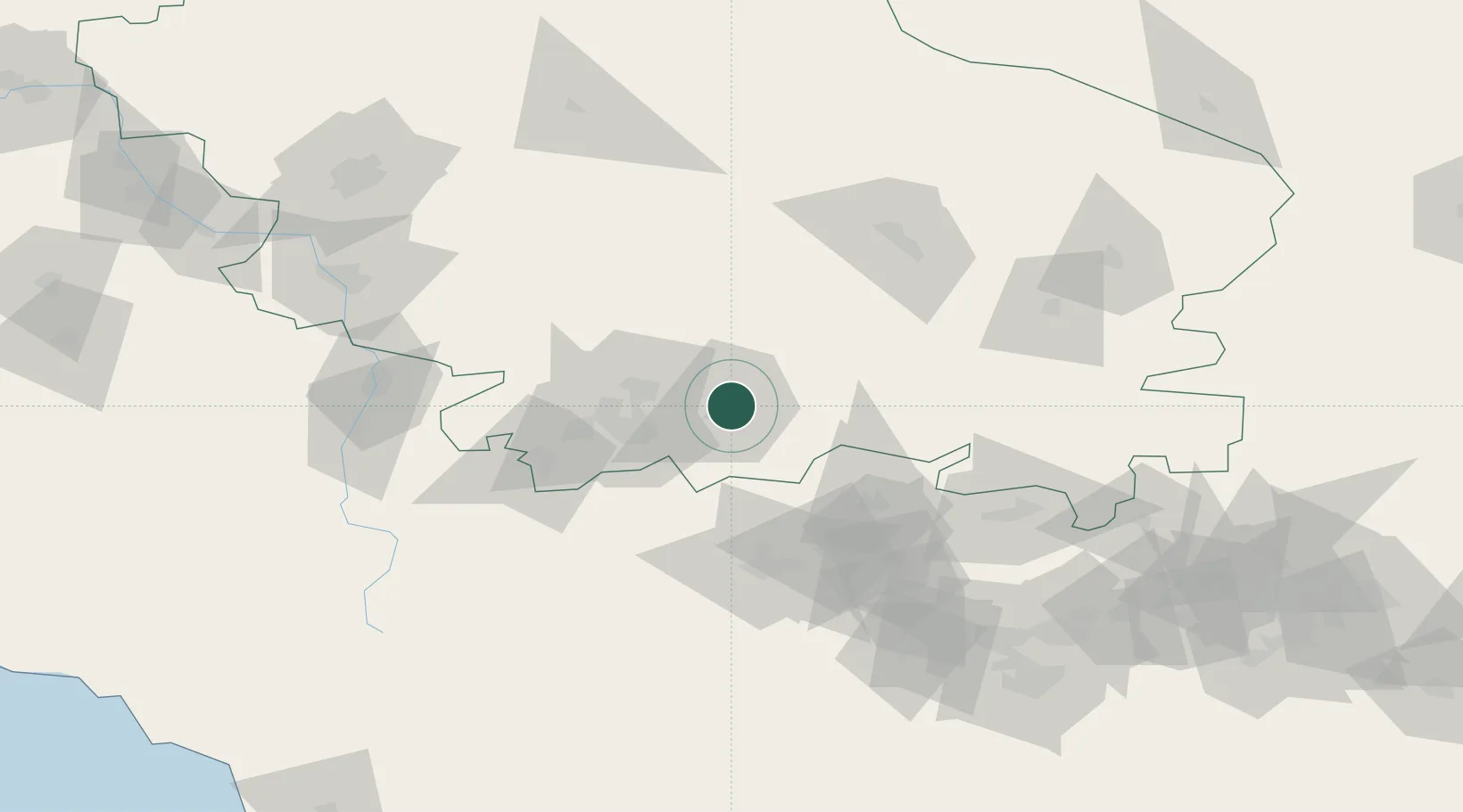
Location
Nearby Logistics Neighbours
Cities
- 1Pyatigorsk36 km
- 2Nalchik75 km
- 3Cherkessk114 km
- 4Nevinnomyssk132 km
- 5Beslan139 km
Ports
- 1Sokhumi238 km
- 2Supsa Marine Terminal269 km
- 3Sochi306 km
- 4Batumi315 km
- 5Hopa348 km
Airports
- 1Mineralnye Vody Airport32 km
- 2Nalchik Airport72 km
- 3Budyonnovsk Air Base87 km
- 4Mozdok Air Base99 km
- 5Mestia Queen Tamar Airport135 km
Trade Zones
DatabookThe Record of Consolidated Knowledge
Russia beyond logistics?