Transport Functions
Rail
Road
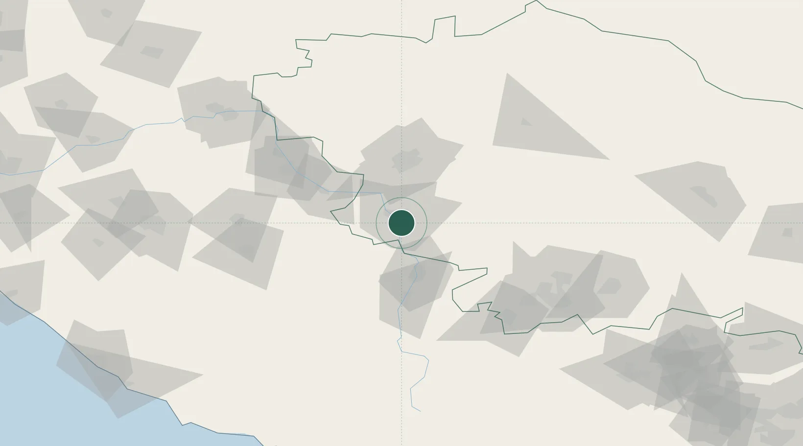
Hub Profile
Place type
Provincial seat
Region
Stavropol Kray
Population
134,345
Time zone
Europe/Moscow
Elevation
330 m
Location
Nearby Logistics Neighbours
Cities
- 1Cherkessk38 km
- 2Labinsk95 km
- 3Pyatigorsk110 km
- 4Kurganinsk110 km
- 5Georgievsk132 km
Ports
- 1Sokhumi197 km
- 2Sochi210 km
- 3Tuapse235 km
- 4Supsa Marine Terminal280 km
- 5Gelendzhik306 km
Airports
- 1Stavropol Shpakovskoye Airport57 km
- 2Mineralnye Vody Airport101 km
- 3Khanskaya Air Base150 km
- 4Nalchik Airport183 km
- 5Mestia Queen Tamar Airport186 km
Trade Zones
DatabookThe Record of Consolidated Knowledge
Russia beyond logistics?