Transport Functions
Rail
Road
Hub Profile
Place type
Provincial seat
Region
Stavropol Kray
Population
142,865
Time zone
Europe/Moscow
Elevation
542 m
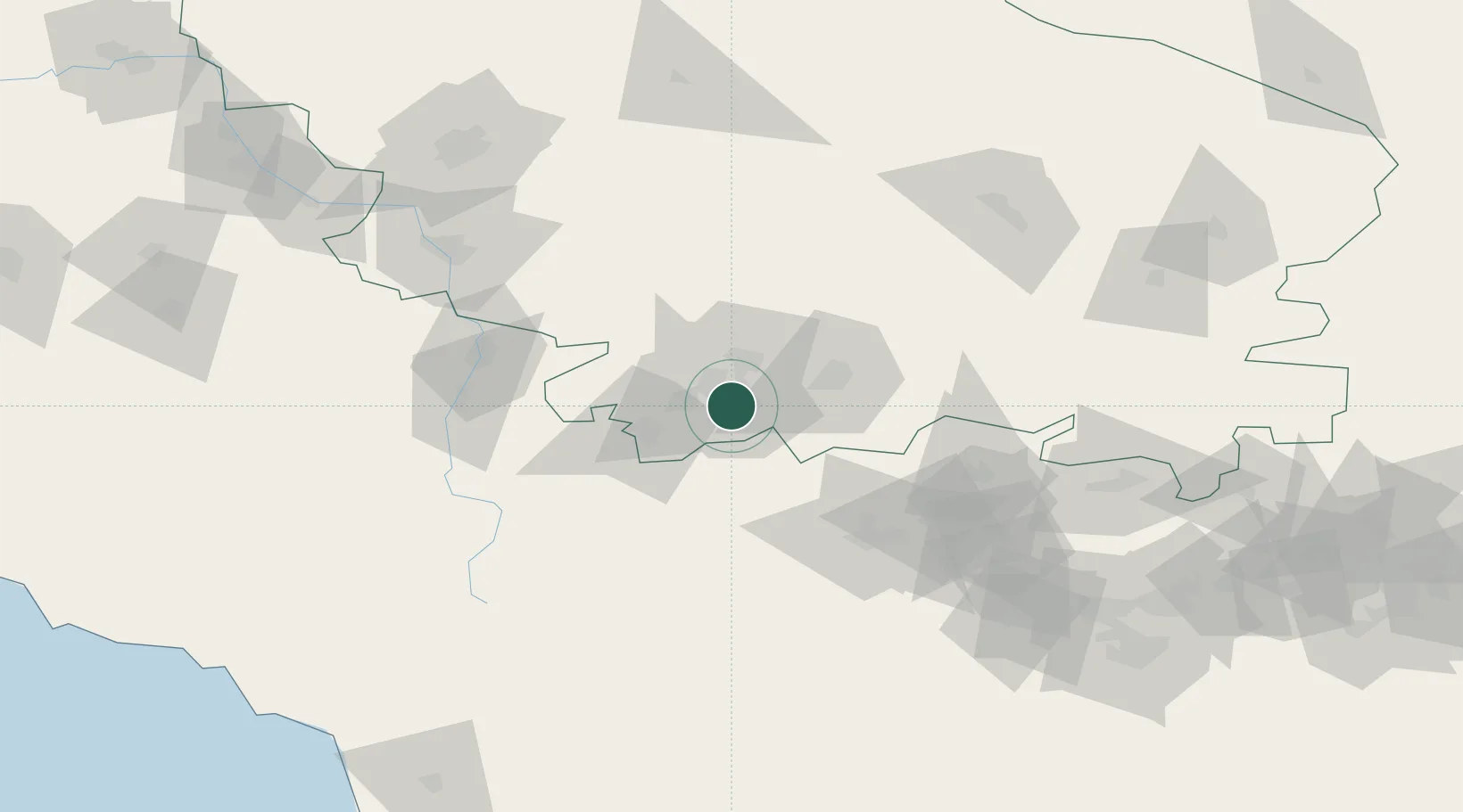
Location
Nearby Logistics Neighbours
Cities
- 1Georgievsk36 km
- 2Nalchik76 km
- 3Cherkessk85 km
- 4Nevinnomyssk110 km
- 5Beslan154 km
Ports
- 1Sokhumi204 km
- 2Supsa Marine Terminal241 km
- 3Sochi271 km
- 4Batumi289 km
- 5Tuapse318 km
Airports
- 1Mineralnye Vody Airport22 km
- 2Nalchik Airport75 km
- 3Mestia Queen Tamar Airport112 km
- 4Budyonnovsk Air Base117 km
- 5Mozdok Air Base127 km
Trade Zones
DatabookThe Record of Consolidated Knowledge
Russia beyond logistics?