UN/LOCODE hub · Russia
RUPSH

Pushkino

56.0000°, 37.8333°
102,816
Population
3
Transport functions

Transport Functions

Rail
Road
Multimodal
UN/LOCODE

Hub Profile

Place type
Provincial seat
GeoNames
Region
Moscow Oblast
GeoNames
Population
102,816
GeoNames
Time zone
Europe/Moscow
GeoNames
Elevation
150 m
GeoNames

Location

Location of RUPSH
Natural Earth 10m (public domain) · Moscow Oblast · RUPSH · 56.00, 37.83GoogleOSMYandex

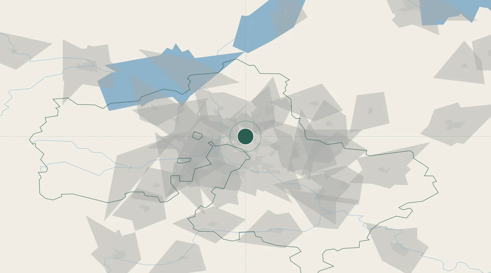
Nearby Logistics Neighbours

Cities
  1. 1Pravdinskiy6 km
  2. 2Korolëv (ex Kaliningrad), Moskovskaya11 km
  3. 3Fryazino14 km
  4. 4Lobnya23 km
  5. 5Balashikha23 km
Nearest neighbours — logibook spatial index (haversine) over the source coordinates
Ports
  1. 1Lomonosov644 km
  2. 2Kronshtadt648 km
  3. 3Ust Luga694 km
  4. 4Sillamae709 km
  5. 5Primorsk725 km
Nearest neighbours — logibook spatial index (haversine) over the source coordinates
Airports
  1. 1Chkalovskiy Air Base20 km
  2. 2Sheremetyevo International Airport26 km
  3. 3Myachkovo Airfield50 km
  4. 4Zhukovsky International Airport54 km
  5. 5Vnukovo International Airport58 km
Nearest neighbours — logibook spatial index (haversine) over the source coordinates
DatabookThe Record of Consolidated Knowledge
Russia beyond logistics?
Browse databook

All Sources

LocationsUN/LOCODE
UN/LOCODE — free
LocationsGeoNames
CC BY 4.0
Portsthe NGA World Port Index
Public domain (US gov)
AirportsOurAirports
Public domain
Trade Zonesthe World Bank SEZ database
CC BY 4.0
Trade ZonesOpen Zone Map
CC BY
← Russia locations