UN/LOCODE hub · Russia
RUPKC
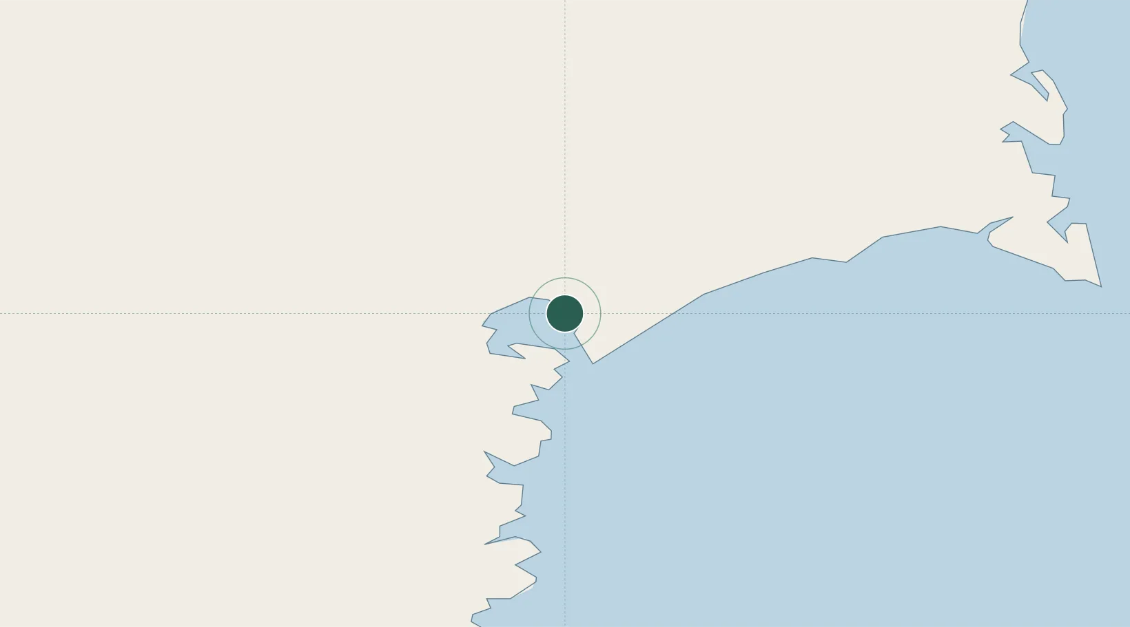
Petropavlovsk-Kamchatskiy
53.0260°, 158.6349°
2
Transport functions
1
Container terminals
Transport Functions
Port
Airport
Hub Profile
Logistics facilities
2
Container terminals
1
Location
Nearby Logistics Neighbours
Cities
- 1Bukhta Ol'ga235 km
- 2Dobrenice329 km
- 3Wolfsberg im Schwarzautal418 km
- 4Ust-Kamchatsk418 km
- 5Dolni Kounice496 km
Ports
- 1Bukhta Nagayeva (Magadan)875 km
- 2Alcan Harbor1034 km
- 3Okha1039 km
- 4Moskal Vo1072 km
- 5Aleksandrovsk -Sakhalinskiy1152 km
Airports
- 1Yelizovo Airport20 km
- 2Avachinskiy Heliport22 km
- 3Sharomy Air Base145 km
- 4Ust'-Kamchatsk Airport442 km
- 5Palana Airport678 km
Trade Zones
DatabookThe Record of Consolidated Knowledge
Russia beyond logistics?