Transport Functions
Rail
Road
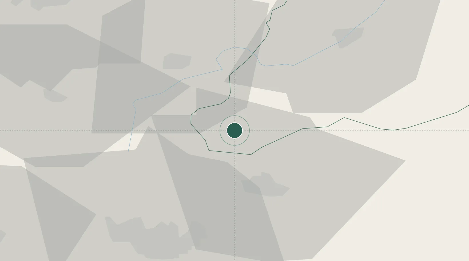
Hub Profile
Place type
District seat
Region
Central Serbia
Time zone
Europe/Belgrade
Elevation
510 m
Location
Nearby Logistics Neighbours
Ports
- 1Shengjin176 km
- 2Porto Romano210 km
- 3Durres211 km
- 4Bar211 km
- 5Thessaloniki215 km
Airports
Trade Zones
- 1Industrial Park in Viti (Gjilan)23 km
- 2TIDZ Skopje 334 km
- 3TIDZ Skopje 234 km
- 4TIDZ Skopje 1 - Bunardō¾ik35 km
- 5Vranje Free Zone36 km
DatabookThe Record of Consolidated Knowledge
Serbia beyond logistics?