Transport Functions
Rail
Road
Hub Profile
Place type
District seat
Region
Central Serbia
Time zone
Europe/Belgrade
Elevation
401 m
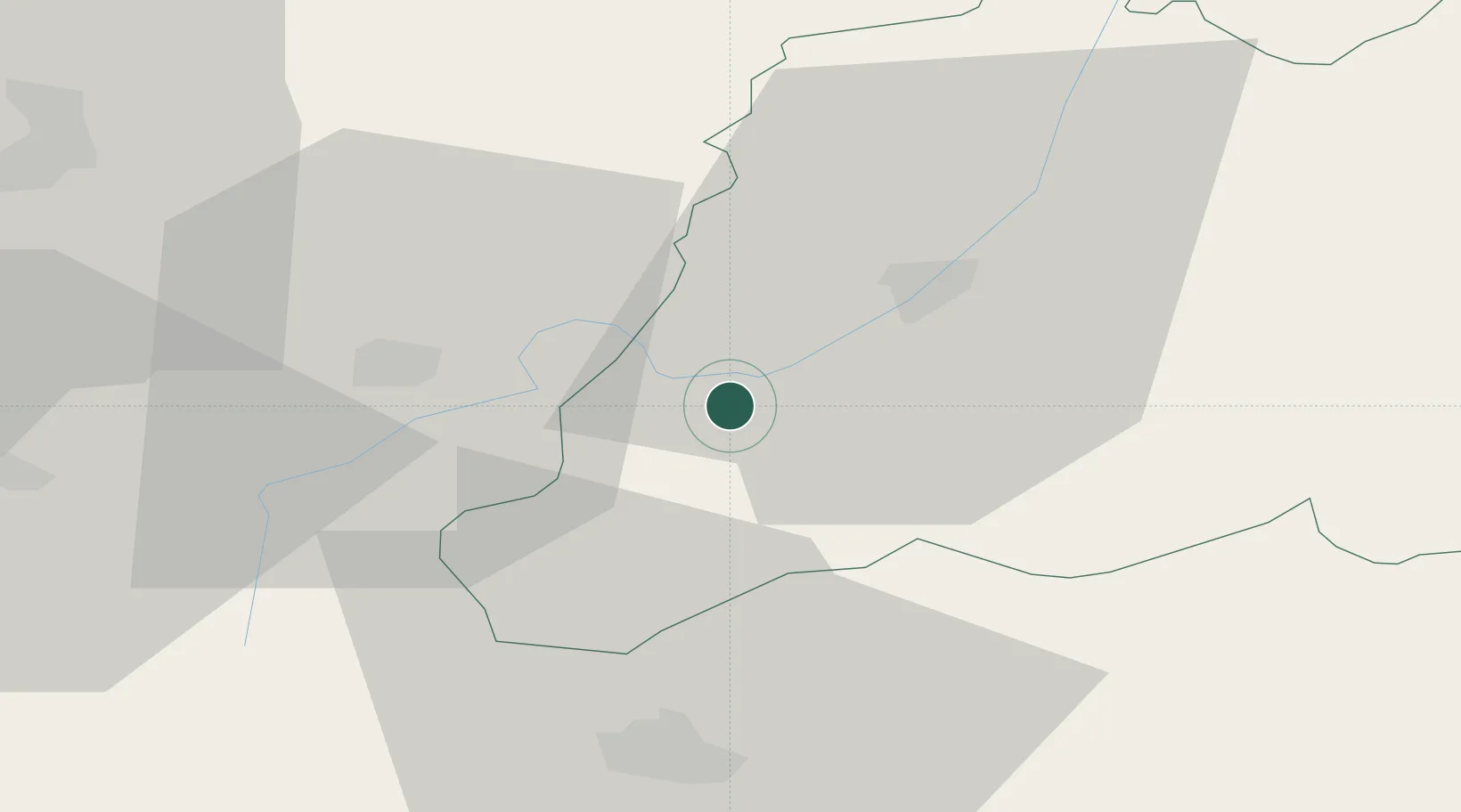
Location
Nearby Logistics Neighbours
Ports
- 1Shengjin192 km
- 2Thessaloniki224 km
- 3Bar225 km
- 4Porto Romano228 km
- 5Durres230 km
Airports
Trade Zones
- 1Vranje Free Zone16 km
- 2Industrial Park in Viti (Gjilan)36 km
- 3TIDZ Rankovce45 km
- 4TIDZ Skopje 352 km
- 5TIDZ Skopje 253 km
DatabookThe Record of Consolidated Knowledge
Serbia beyond logistics?