UN/LOCODE hub · Serbia
RSPRN

Pristina

42.6667°, 21.1667°
3
Transport functions

Transport Functions

Rail
Road
Airport
UN/LOCODE

Location

Location of RSPRN
Natural Earth 10m (public domain) · Priština · RSPRN · 42.67, 21.17GoogleOSMYandex

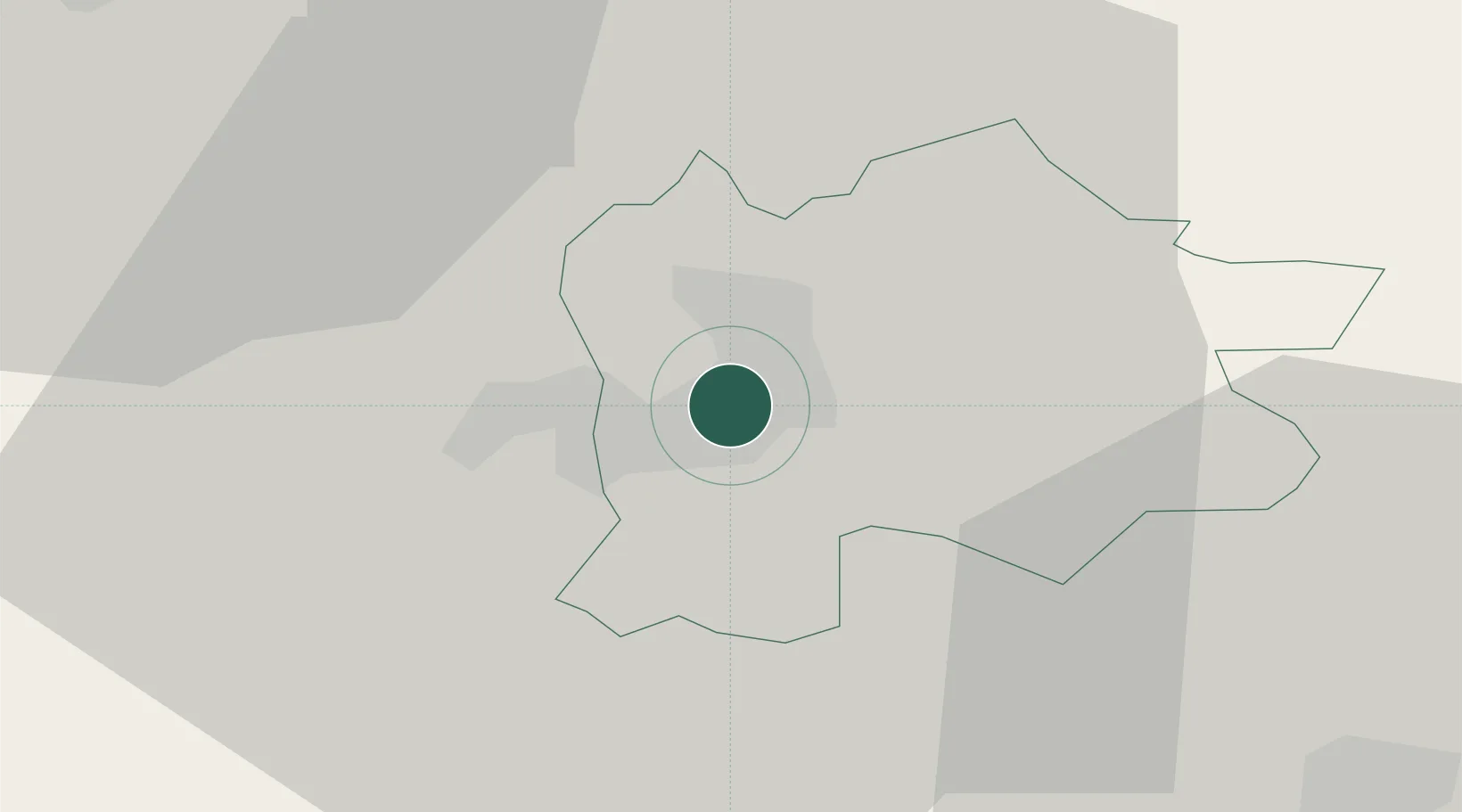
Nearby Logistics Neighbours

Cities
  1. 1Lipljan17 km
  2. 2Gnjilane32 km
  3. 3Urosevac33 km
  4. 4Zvecan38 km
  5. 5Kursumlija53 km
Nearest neighbours — logibook spatial index (haversine) over the source coordinates
Ports
  1. 1Shengjin160 km
  2. 2Bar183 km
  3. 3Kotor199 km
  4. 4Risan203 km
  5. 5Porto Romano203 km
Nearest neighbours — logibook spatial index (haversine) over the source coordinates
Airports
  1. 1Priština Adem Jashari International Airport15 km
  2. 2Skopje International Airport87 km
  3. 3Niš Constantine the Great Airport93 km
  4. 4Kukës International Airport93 km
  5. 5Morava Airport136 km
Nearest neighbours — logibook spatial index (haversine) over the source coordinates
Trade Zones
  1. 1Industrial Park in Lipjan16 km
  2. 2Business Park in Vushtrri17 km
  3. 3Business Park in Drenas18 km
  4. 4Technology Park in ō timlje Shtime29 km
  5. 5Technological Business Park in Skënderaj32 km
Nearest neighbours — logibook spatial index (haversine) over the source coordinates
DatabookThe Record of Consolidated Knowledge
Serbia beyond logistics?
Browse databook

All Sources

LocationsUN/LOCODE
UN/LOCODE — free
Portsthe NGA World Port Index
Public domain (US gov)
AirportsOurAirports
Public domain
Trade Zonesthe World Bank SEZ database
CC BY 4.0
Trade ZonesOpen Zone Map
CC BY
← Serbia locations