About
Methodology
Sources
Licensing
English
EN
English
TR
Türkçe
DE
Deutsch
FR
Français
ES
Español
IT
Italiano
PT
Português
NL
Nederlands
PL
Polski
RU
Русский
UK
Українська
CS
Čeština
RO
Română
EL
Ελληνικά
BG
Български
AR
العربية
FA
فارسی
UR
اردو
HI
हिन्दी
BN
বাংলা
ID
Bahasa Indonesia
VI
Tiếng Việt
ZH
中文
JA
日本語
KO
한국어
logibook
/
Countries
/
Serbia
/
Locations
/
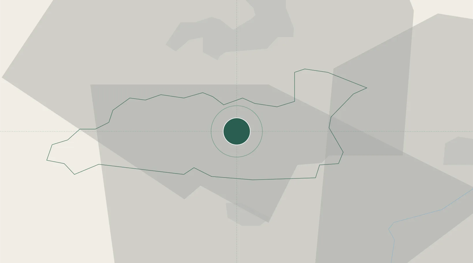
Lipljan
UN/LOCODE hub ·
Serbia
RS
LIP
Lipljan
42.5167°, 21.1333°
2
Transport functions
Transport Functions
Rail
Road
UN/LOCODE
Hub Profile
Region
25
GeoNames
Location
Natural Earth 10m (public domain) · 25 · RSLIP · 42.52, 21.13
Google ↗
OSM ↗
Yandex ↗
Nearby Logistics Neighbours
Cities
1
Urosevac
17 km
2
Pristina
17 km
3
Gnjilane
27 km
4
Orahovac
42 km
5
Prizren
47 km
Nearest neighbours — logibook spatial index (haversine) over the source coordinates
Ports
1
Shengjin
148 km
2
Bar
175 km
3
Porto Romano
190 km
4
Durres
193 km
5
Kotor
194 km
Nearest neighbours — logibook spatial index (haversine) over the source coordinates
Airports
1
Priština Adem Jashari International Airport
10 km
2
Skopje International Airport
74 km
3
Kukës International Airport
80 km
4
Niš Constantine the Great Airport
109 km
5
Morava Airport
151 km
Nearest neighbours — logibook spatial index (haversine) over the source coordinates
Trade Zones
1
Industrial Park in Lipjan
2 km
2
Technology Park in ō timlje Shtime
12 km
3
Business Park in Drenas
17 km
4
Industrial Park in Viti (Gjilan)
28 km
5
Agro-Industrial Zone of Suhareka
31 km
Nearest neighbours — logibook spatial index (haversine) over the source coordinates
Data
book
The Record of Consolidated Knowledge
Serbia beyond logistics?
Browse databook
→
All Sources
Locations
UN/LOCODE
UN/LOCODE — free
↗
Ports
the NGA World Port Index
Public domain (US gov)
↗
Airports
OurAirports
Public domain
↗
Trade Zones
the World Bank SEZ database
CC BY 4.0
↗
Trade Zones
Open Zone Map
CC BY
↗
← Serbia locations