Transport Functions
Port
Multimodal
Hub Profile
Place type
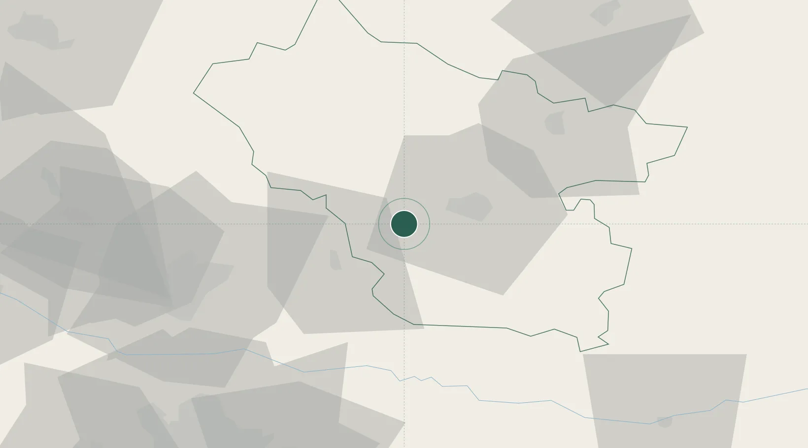
Populated place
Region
Buzău County
Time zone
Europe/Bucharest
Elevation
190 m
Location
Nearby Logistics Neighbours
Airports
Trade Zones
- 1Free Zone Galați44 km
- 2VGP Park Buharest North89 km
- 3VGP Park Brasov104 km
- 4Free zone Brăila106 km
- 5Giurgiulesti International Free Port129 km
DatabookThe Record of Consolidated Knowledge
Romania beyond logistics?