Transport Functions
Multimodal
Hub Profile
Place type
Provincial seat
Region
Buzău County
Population
11,350
Time zone
Europe/Bucharest
Elevation
392 m
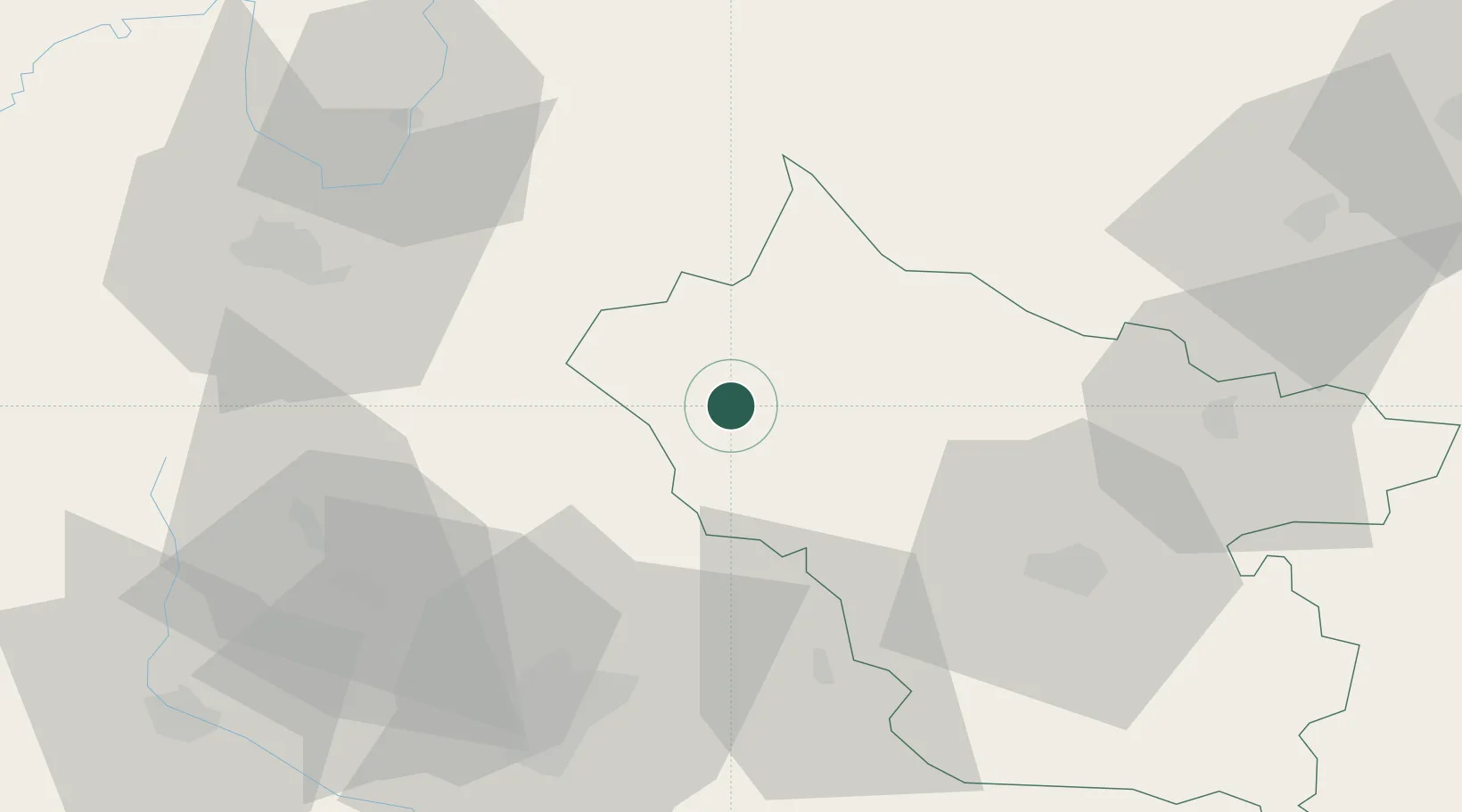
Location
Nearby Logistics Neighbours
Cities
- 1Drajna de Jos30 km
- 2Valenii de Munte33 km
- 3Berca33 km
- 4Turturesti42 km
- 5Mizil46 km
Airports
Trade Zones
- 1Free Zone Galați58 km
- 2VGP Park Brasov64 km
- 3VGP Park Buharest North108 km
- 4Free zone Brăila132 km
- 5Giurgiulesti International Free Port149 km
DatabookThe Record of Consolidated Knowledge
Romania beyond logistics?