Transport Functions
Port
Hub Profile
Place type
Populated place
Region
Odesa
Population
7,712
Time zone
Europe/Kyiv
Elevation
1 m
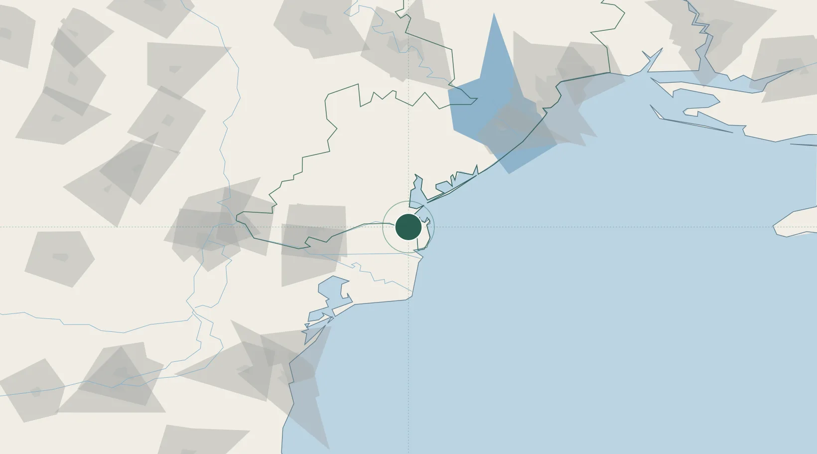
Location
Nearby Logistics Neighbours
Cities
- 1Ust-Dunaisk/Vylkove12 km
- 2Kiliia25 km
- 3Sulina (Port et Zone Franche)29 km
- 4Chilia Veche35 km
- 5Mahmudia46 km
Ports
- 1Ust-Dunaisk12 km
- 2Sulina27 km
- 3Izmayil58 km
- 4Tulcea65 km
- 5Reni100 km
Airports
Trade Zones
DatabookThe Record of Consolidated Knowledge
Ukraine beyond logistics?