UN/LOCODE hub · Ukraine
UAUDY

Ust-Dunaisk/Vylkove

45.4667°, 29.7000°
1
Transport functions

Transport Functions

Port
Ust-Dunaisk/Vylkove is also a profiled seaport →
UN/LOCODE

Hub Profile

Region
51
GeoNames

Location

Location of UAUDY
Natural Earth 10m (public domain) · 51 · UAUDY · 45.47, 29.70GoogleOSMYandex

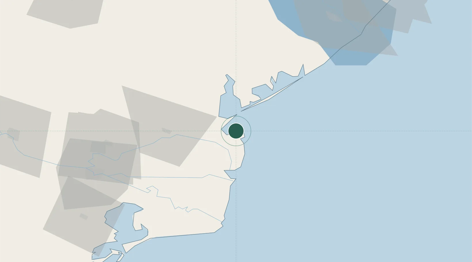
Nearby Logistics Neighbours

Cities
  1. 1Vylkove12 km
  2. 2Chilia Veche32 km
  3. 3Kiliia34 km
  4. 4Sulina (Port et Zone Franche)35 km
  5. 5Mahmudia58 km
Nearest neighbours — logibook spatial index (haversine) over the source coordinates
Ports
  1. 1Sulina34 km
  2. 2Izmayil68 km
  3. 3Tulcea77 km
  4. 4Belgorod-Dnestrovsky95 km
  5. 5Reni109 km
Nearest neighbours — logibook spatial index (haversine) over the source coordinates
Airports
  1. 1Zhovtneve Air Base83 km
  2. 2Tulcea Danube Delta Airport89 km
  3. 3Cahul International Airport119 km
  4. 4Odesa International Airport131 km
  5. 5Mihail Kogălniceanu International Airport156 km
Nearest neighbours — logibook spatial index (haversine) over the source coordinates
Trade Zones
  1. 1Free Zone Sulina35 km
  2. 2Free Enterprise Zone - Production Park Taraclia95 km
  3. 3Free Enterprise Zone Tvardita95 km
  4. 4Reni Special Economic Zone110 km
  5. 5Giurgiulesti International Free Port116 km
Nearest neighbours — logibook spatial index (haversine) over the source coordinates
DatabookThe Record of Consolidated Knowledge
Ukraine beyond logistics?
Browse databook

All Sources

LocationsUN/LOCODE
UN/LOCODE — free
Portsthe NGA World Port Index
Public domain (US gov)
AirportsOurAirports
Public domain
Trade Zonesthe World Bank SEZ database
CC BY 4.0
Trade ZonesOpen Zone Map
CC BY
← Ukraine locations