Transport Functions
Rail
Road
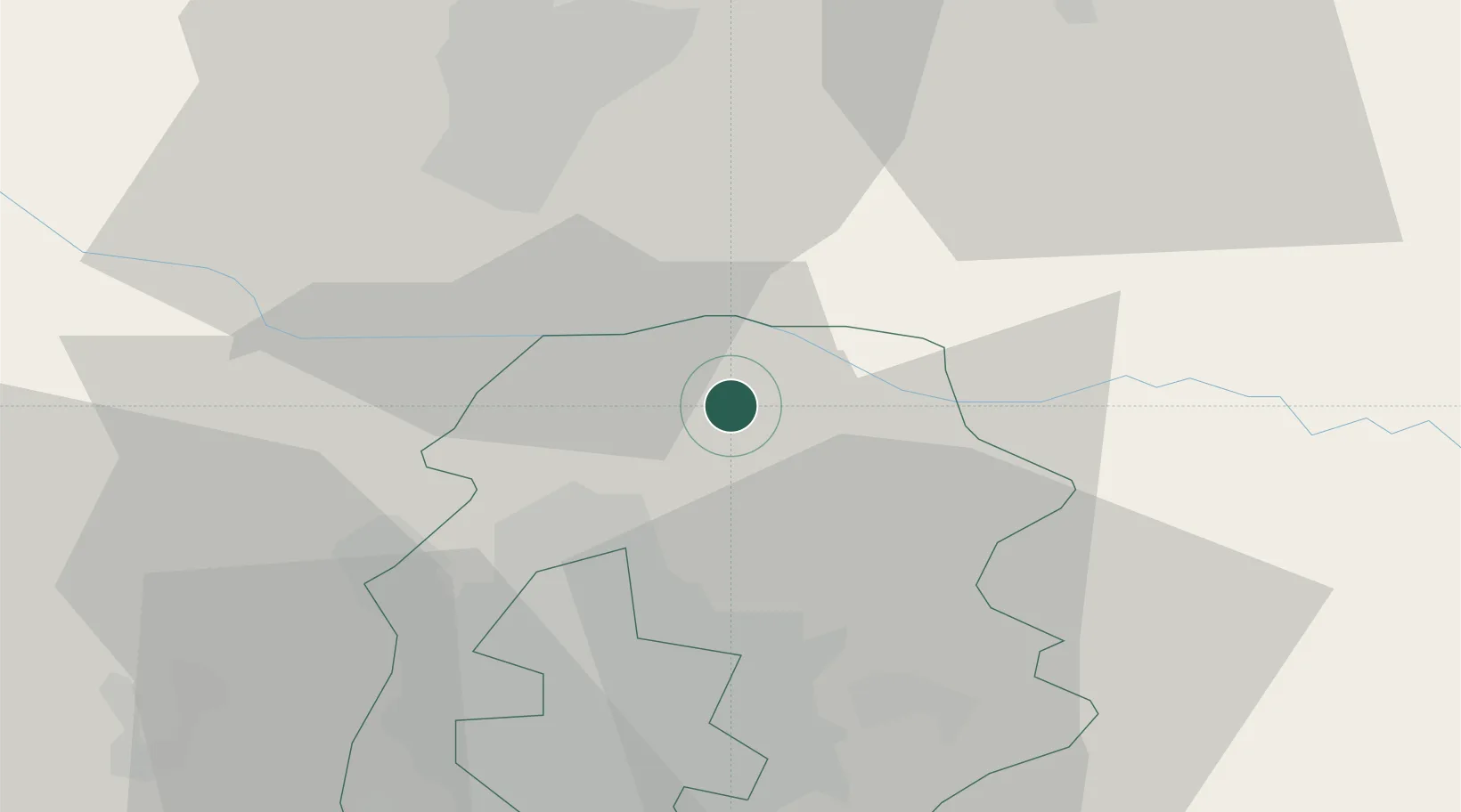
Hub Profile
Place type
Provincial seat
Region
Ilfov
Population
6,126
Time zone
Europe/Bucharest
Elevation
102 m
Location
Nearby Logistics Neighbours
Cities
- 1Gruiu5 km
- 2Balotesti11 km
- 3Tunari17 km
- 4Stefanestii de Jos19 km
- 5Sindrilita23 km
Airports
Trade Zones
- 1VGP Park Buharest North31 km
- 2Rousse Free Zone91 km
- 3Free Zone Giurgiu92 km
- 4Free Zone Galați102 km
- 5VGP Park Brasov118 km
DatabookThe Record of Consolidated Knowledge
Romania beyond logistics?