UN/LOCODE hub · Romania
ROSTJ
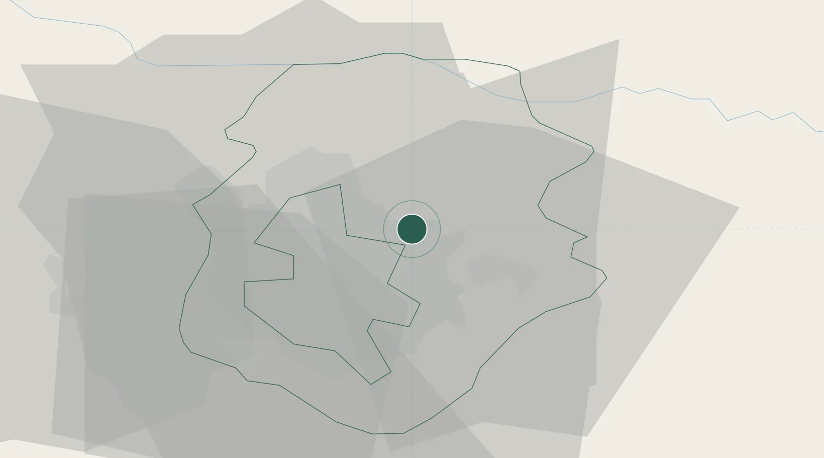
Stefanestii de Jos
44.5333°, 26.2000°
4,183
Population
2
Transport functions
Transport Functions
Road
Multimodal
Hub Profile
Place type
Populated place
Region
Ilfov
Population
4,183
Time zone
Europe/Bucharest
Elevation
84 m
Location
Nearby Logistics Neighbours
Cities
- 1Tunari4 km
- 2Sindrilita9 km
- 3Balotesti11 km
- 4Bucuresti14 km
- 5Popesti-Leordeni17 km
Airports
Trade Zones
- 1VGP Park Buharest North21 km
- 2Rousse Free Zone73 km
- 3Free Zone Giurgiu74 km
- 4Free Zone Galați116 km
- 5VGP Park Brasov135 km
DatabookThe Record of Consolidated Knowledge
Romania beyond logistics?