Transport Functions
Port
Multimodal
Hub Profile
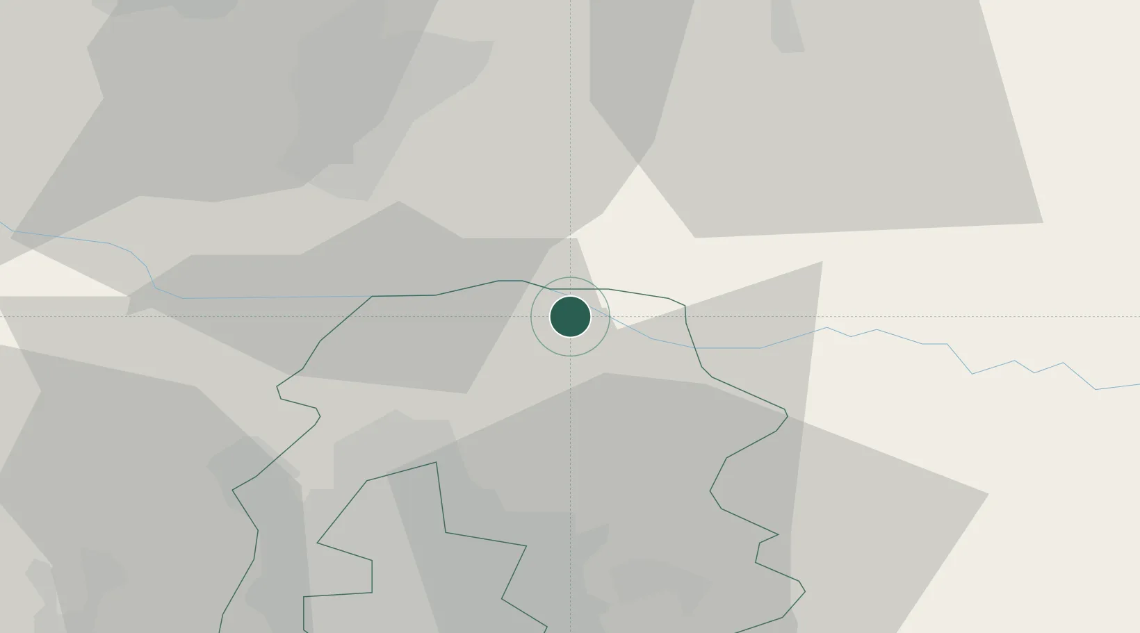
Place type
Provincial seat
Region
Ilfov
Population
7,183
Time zone
Europe/Bucharest
Elevation
82 m
Location
Nearby Logistics Neighbours
Cities
- 1Snagov5 km
- 2Balotesti16 km
- 3Tunari21 km
- 4Stefanestii de Jos22 km
- 5Sindrilita25 km
Airports
Trade Zones
- 1VGP Park Buharest North36 km
- 2Rousse Free Zone96 km
- 3Free Zone Giurgiu96 km
- 4Free Zone Galați97 km
- 5VGP Park Brasov116 km
DatabookThe Record of Consolidated Knowledge
Romania beyond logistics?