Transport Functions
Multimodal
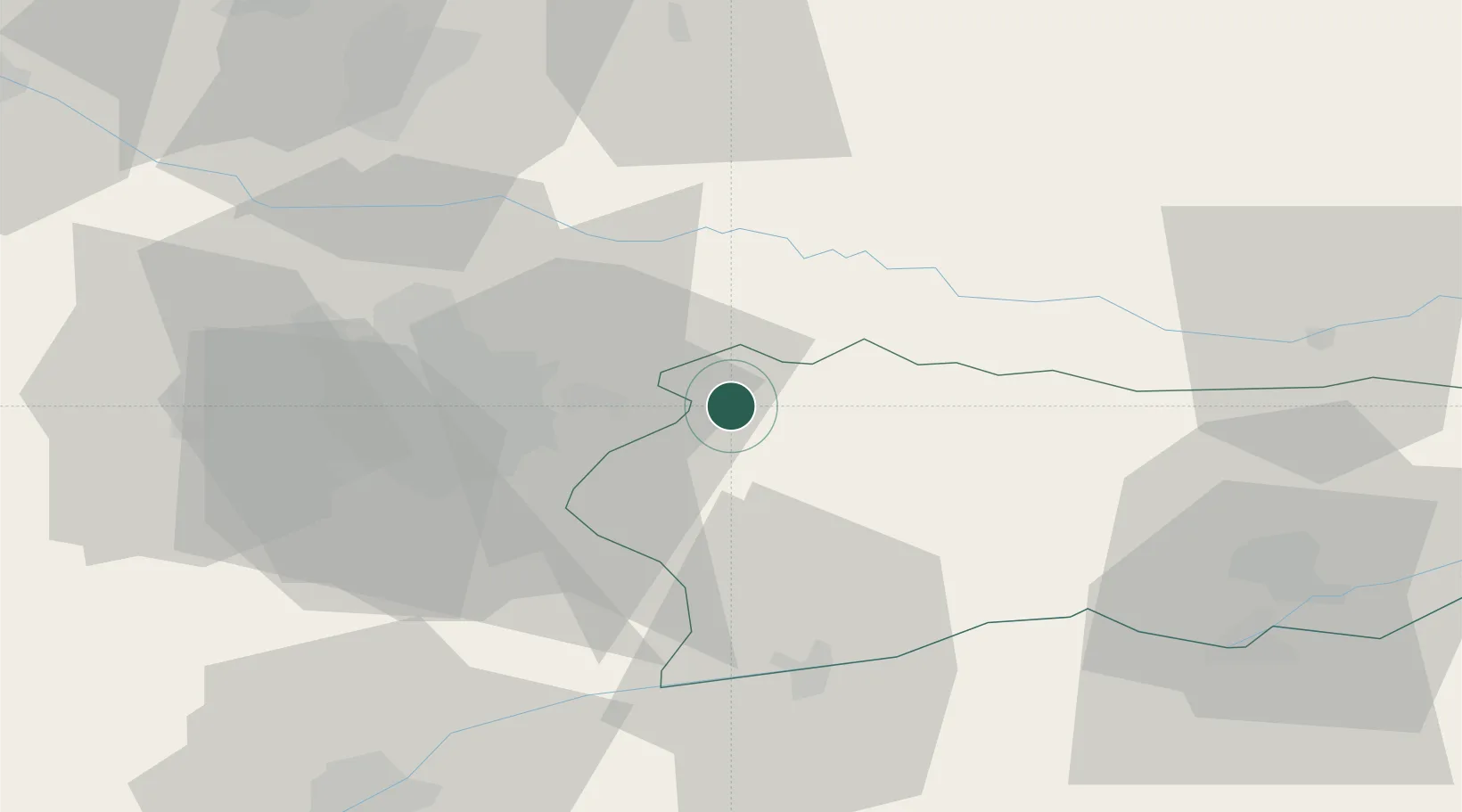
Hub Profile
Place type
Provincial seat
Region
Călărași County
Population
6,668
Time zone
Europe/Bucharest
Elevation
64 m
Location
Nearby Logistics Neighbours
Cities
- 1Sindrilita17 km
- 2Glina23 km
- 3Stefanestii de Jos26 km
- 4Budesti, Calarasi26 km
- 5Popesti-Leordeni29 km
Airports
Trade Zones
- 1VGP Park Buharest North45 km
- 2Rousse Free Zone76 km
- 3Free Zone Giurgiu78 km
- 4Free Zone Galați111 km
- 5Free zone Brăila146 km
DatabookThe Record of Consolidated Knowledge
Romania beyond logistics?