UN/LOCODE hub · Romania
ROPLE
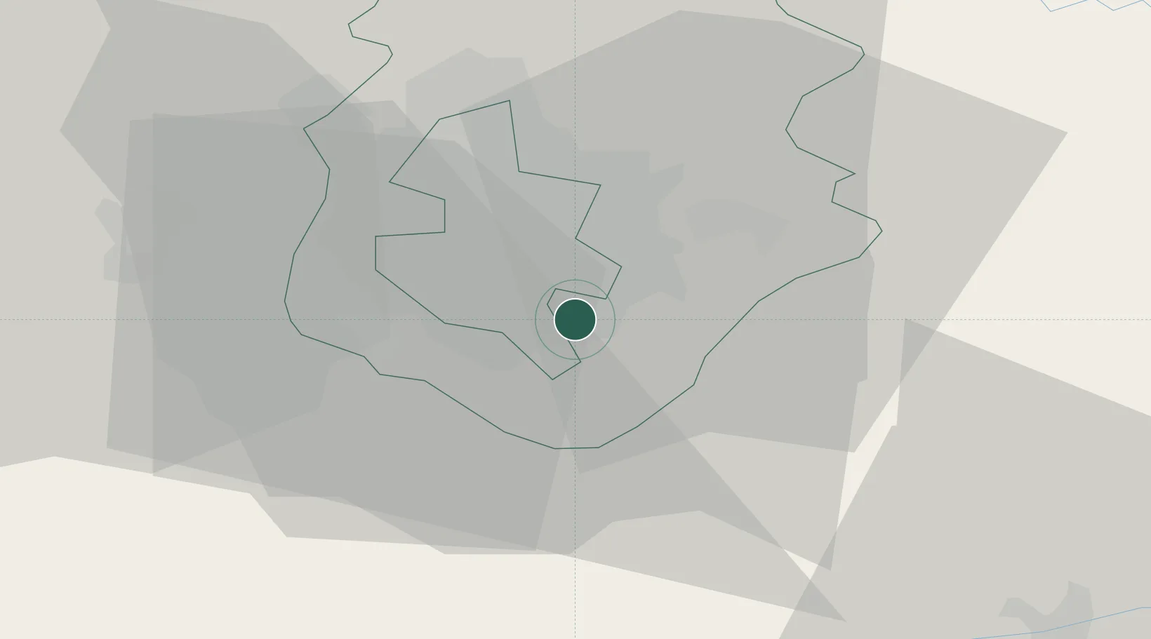
Popesti-Leordeni
44.3833°, 26.1667°
15,279
Population
2
Transport functions
Transport Functions
Rail
Road
Hub Profile
Place type
Provincial seat
Region
Ilfov
Population
15,279
Time zone
Europe/Bucharest
Elevation
76 m
Location
Nearby Logistics Neighbours
Cities
- 1Bucuresti6 km
- 2Glina7 km
- 3Stefanestii de Jos17 km
- 4Chiajna18 km
- 5Tunari19 km
Airports
Trade Zones
- 1VGP Park Buharest North20 km
- 2Rousse Free Zone57 km
- 3Free Zone Giurgiu57 km
- 4Free Zone Galați131 km
- 5VGP Park Brasov150 km
DatabookThe Record of Consolidated Knowledge
Romania beyond logistics?