Transport Functions
Multimodal
Hub Profile
Place type
Provincial seat
Region
Mureș County
Population
11,465
Time zone
Europe/Bucharest
Elevation
454 m
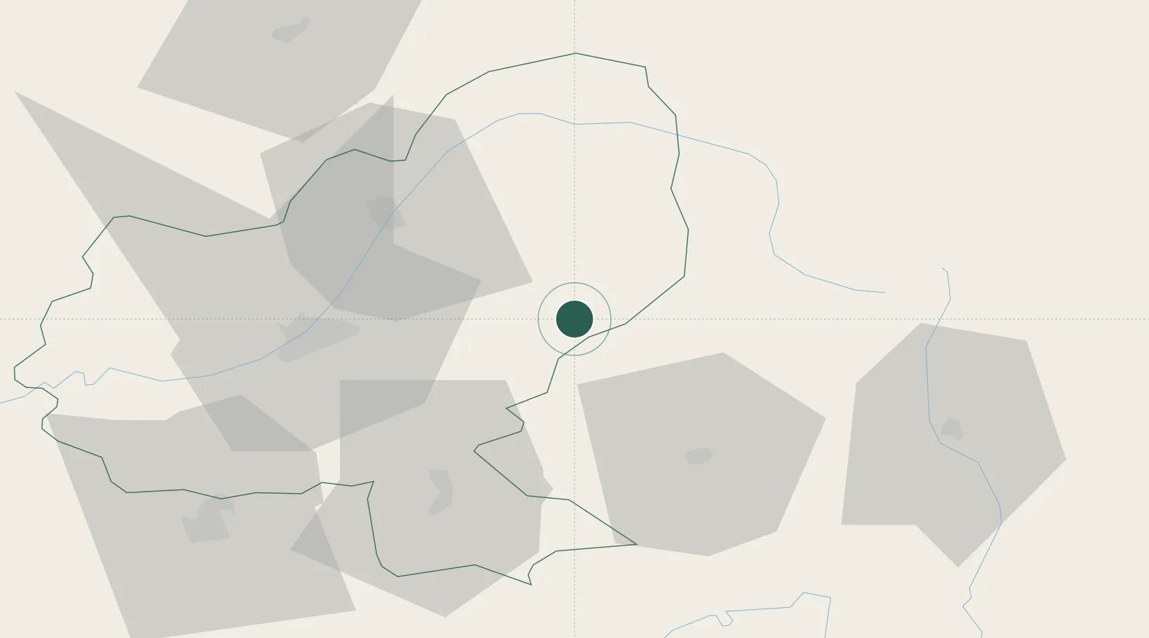
Location
Nearby Logistics Neighbours
Cities
- 1Hodosa20 km
- 2Hodac23 km
- 3Petelea32 km
- 4Livezeni33 km
- 5Cristuru Secuiesc34 km
Airports
Trade Zones
- 1VGP Park Brasov109 km
- 2VGP Park Sibiu118 km
- 3Free Zone Galați202 km
- 4Zona Economică Liberă Bălți213 km
- 5Free Enterprise Zone - Production Park Ungheni Business220 km
DatabookThe Record of Consolidated Knowledge
Romania beyond logistics?