Transport Functions
Port
Rail
Road
Hub Profile
Region
CT
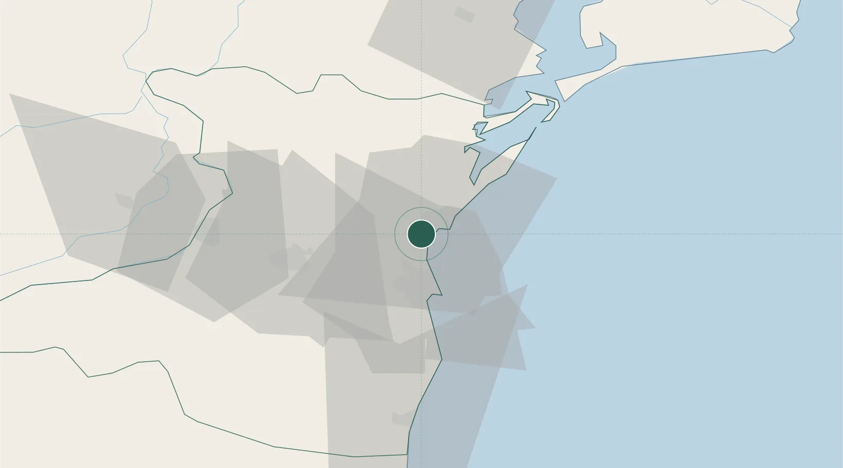
Location
Nearby Logistics Neighbours
Airports
- 1Mihail Kogălniceanu International Airport11 km
- 2Feteşti Borcea Air Base71 km
- 3Tulcea Danube Delta Airport81 km
- 4Balchik Airfield107 km
- 5Varna Airport138 km
Trade Zones
- 1Free Zone Constanō£a Sud si Basarabi34 km
- 2Free zone Brăila116 km
- 3Free Zone Sulina121 km
- 4Reni Special Economic Zone126 km
- 5Giurgiulesti International Free Port130 km
DatabookThe Record of Consolidated Knowledge
Romania beyond logistics?