Transport Functions
Port
Road
Hub Profile
Place type
Provincial seat
Region
Constanța County
Population
10,055
Time zone
Europe/Bucharest
Elevation
17 m
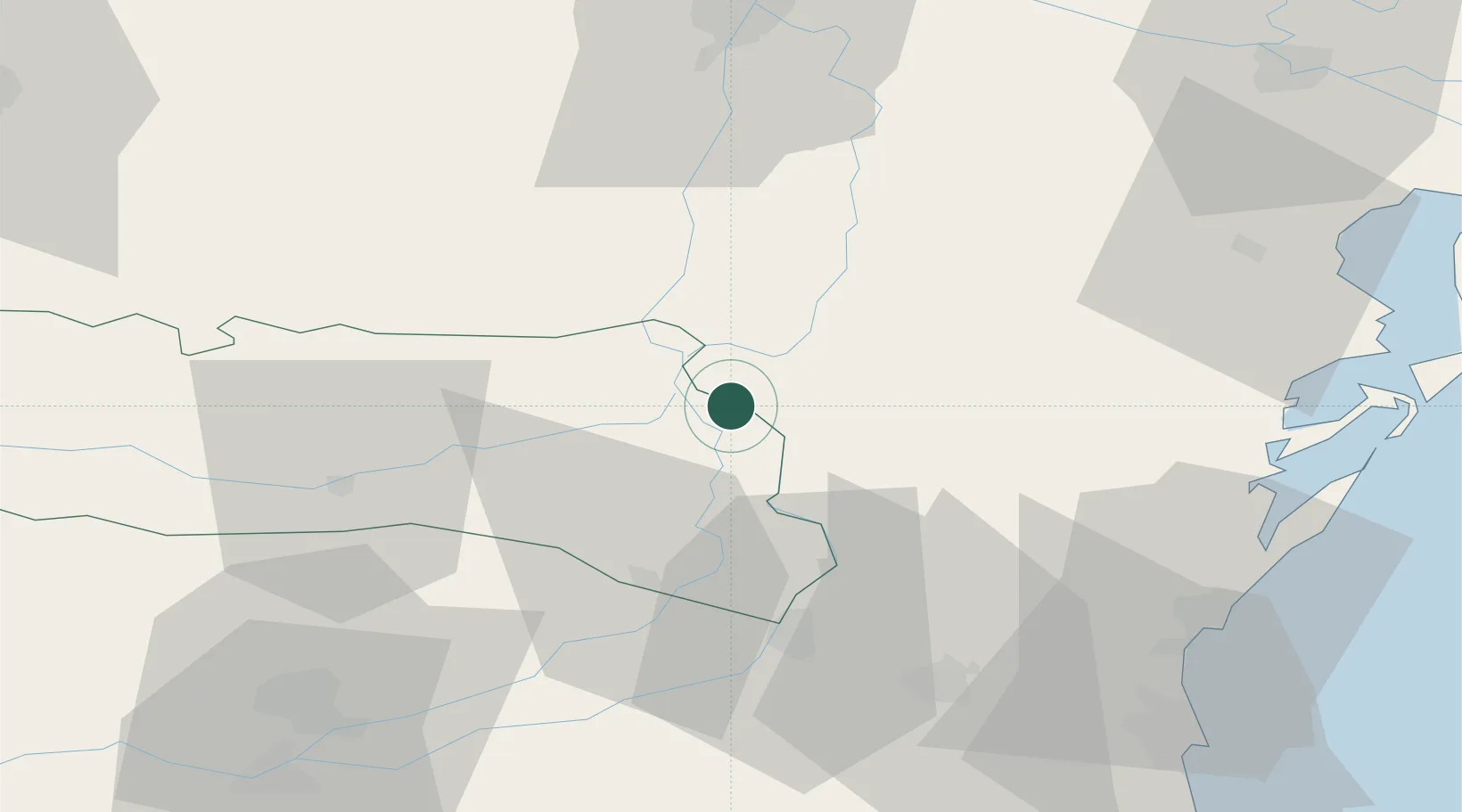
Location
Nearby Logistics Neighbours
Cities
- 1Fetesti35 km
- 2Cernavoda37 km
- 3Medgidia54 km
- 4Chiscani56 km
- 5Poarta Alba63 km
Airports
- 1Feteşti Borcea Air Base37 km
- 2Mihail Kogălniceanu International Airport56 km
- 3Tulcea Danube Delta Airport74 km
- 4Boboc Air Base97 km
- 5Zhovtneve Air Base120 km
Trade Zones
DatabookThe Record of Consolidated Knowledge
Romania beyond logistics?