Transport Functions
Rail
Road
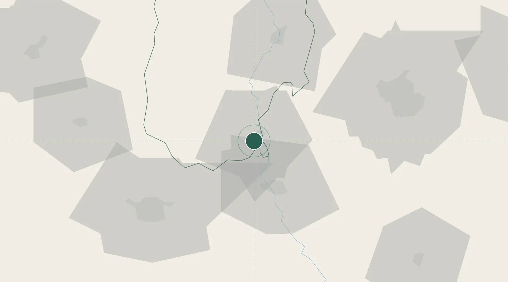
Hub Profile
Place type
Provincial seat
Region
Vâlcea County
Population
20,630
Time zone
Europe/Bucharest
Elevation
155 m
Location
Nearby Logistics Neighbours
Cities
- 1Pielesti43 km
- 2Râmnicu Vâlcea51 km
- 3Rimnicu Vilcea51 km
- 4Carcea52 km
- 5Cosoveni52 km
Airports
Trade Zones
- 1VGP Park Sibiu127 km
- 2VGP Park Buharest North135 km
- 3VGP Park Brasov151 km
- 4Free Zone Giurgiu159 km
- 5Rousse Free Zone164 km
DatabookThe Record of Consolidated Knowledge
Romania beyond logistics?