UN/LOCODE hub · Romania
RORIV
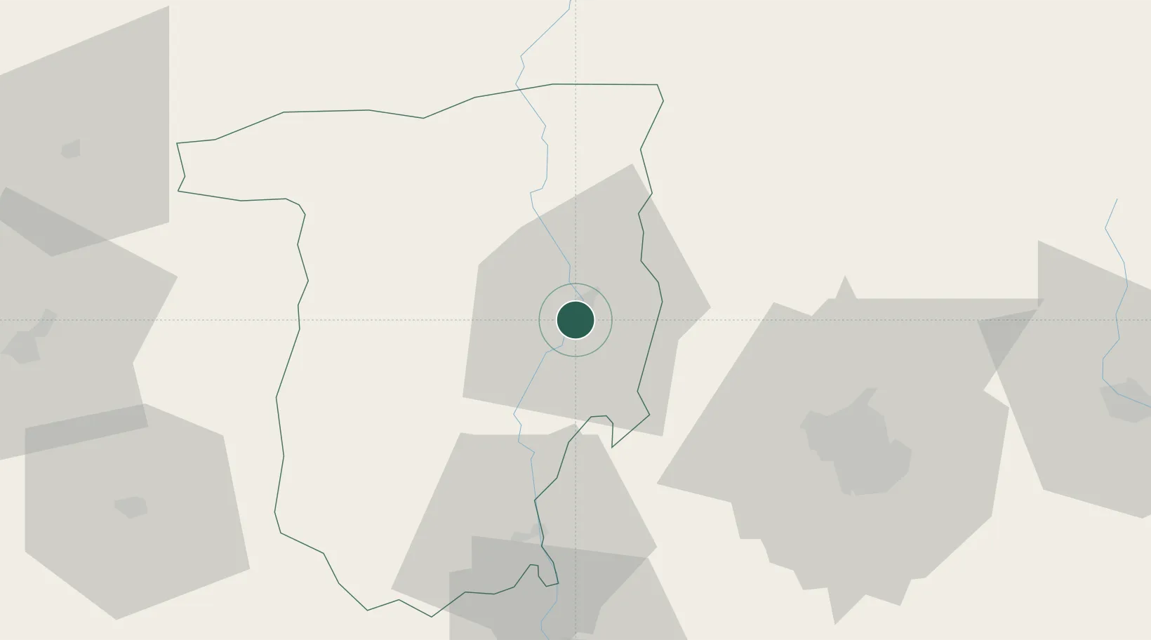
Râmnicu Vâlcea
45.1000°, 24.3667°
93,151
Population
1
Transport functions
Transport Functions
Rail
Hub Profile
Place type
Regional capital
Region
Vâlcea County
Population
93,151
Time zone
Europe/Bucharest
Elevation
237 m
Location
Nearby Logistics Neighbours
Cities
- 1Rimnicu Vilcea0 km
- 2Pausesti-Maglasi10 km
- 3Maracineni46 km
- 4Stalpeni48 km
- 5Dragasani51 km
Airports
Trade Zones
- 1VGP Park Sibiu79 km
- 2VGP Park Brasov112 km
- 3VGP Park Buharest North143 km
- 4Free Zone Giurgiu184 km
- 5Rousse Free Zone188 km
DatabookThe Record of Consolidated Knowledge
Romania beyond logistics?