Transport Functions
Multimodal
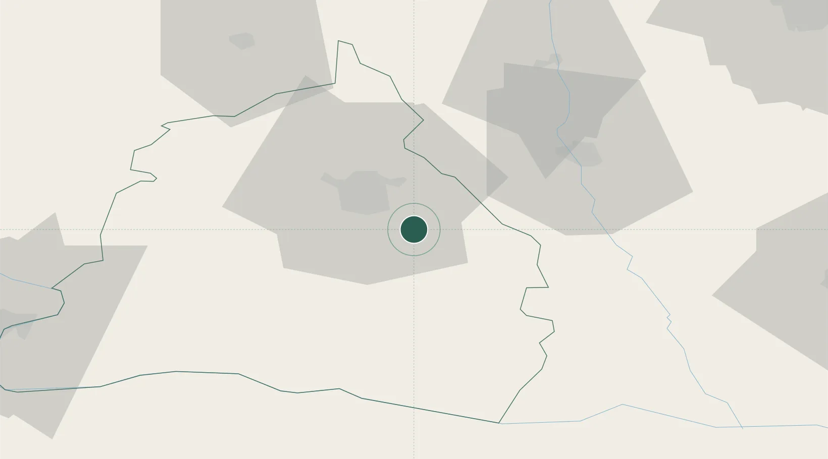
Hub Profile
Place type
Provincial seat
Region
Dolj
Population
5,024
Time zone
Europe/Bucharest
Elevation
171 m
Location
Nearby Logistics Neighbours
Airports
- 1Craiova International Airport8 km
- 2Dolna Mitropoliya Air Base100 km
- 3Sibiu International Airport171 km
- 4Sofia Airport178 km
- 5Caransebeş Airport186 km
Trade Zones
- 1Vidin Free Trade Zone135 km
- 2Pirot Free Zone162 km
- 3VGP Park Buharest North163 km
- 4Free Zone Giurgiu167 km
- 5Dragoman Free Economic Zone168 km
DatabookThe Record of Consolidated Knowledge
Romania beyond logistics?