UN/LOCODE hub · Romania
ROCCA

Carcea

44.2667°, 23.9000°
2
Transport functions

Transport Functions

Rail
Road
UN/LOCODE

Hub Profile

Place type
Provincial seat
GeoNames
Region
Dolj
GeoNames
Time zone
Europe/Bucharest
GeoNames
Elevation
181 m
GeoNames

Location

Location of ROCCA
Natural Earth 10m (public domain) · Dolj · ROCCA · 44.27, 23.90GoogleOSMYandex

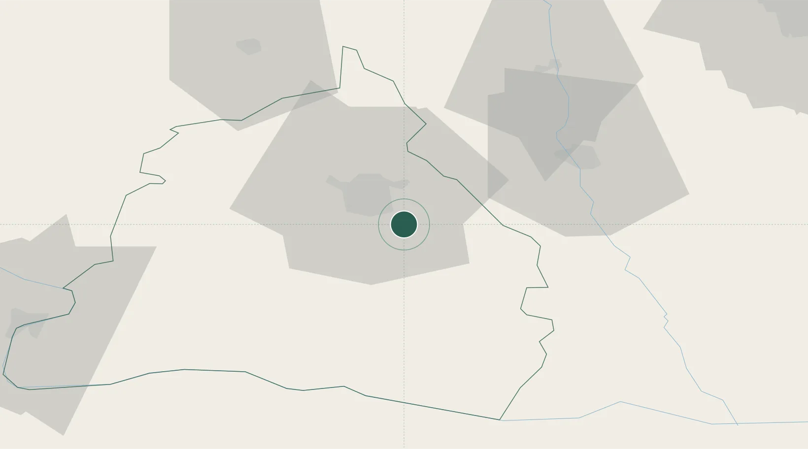
Nearby Logistics Neighbours

Cities
  1. 1Cosoveni3 km
  2. 2Pielesti8 km
  3. 3Segarcea22 km
  4. 4Deveselu45 km
  5. 5Dragasani52 km
Nearest neighbours — logibook spatial index (haversine) over the source coordinates
Ports
  1. 1Braila340 km
  2. 2Varna348 km
  3. 3Burgas351 km
  4. 4Kavala373 km
  5. 5Lagos377 km
Nearest neighbours — logibook spatial index (haversine) over the source coordinates
Airports
  1. 1Craiova International Airport6 km
  2. 2Dolna Mitropoliya Air Base103 km
  3. 3Sibiu International Airport170 km
  4. 4Sofia Airport179 km
  5. 5Caransebeş Airport183 km
Nearest neighbours — logibook spatial index (haversine) over the source coordinates
Trade Zones
  1. 1Vidin Free Trade Zone134 km
  2. 2Pirot Free Zone161 km
  3. 3VGP Park Buharest North165 km
  4. 4Dragoman Free Economic Zone169 km
  5. 5VGP Park Sibiu169 km
Nearest neighbours — logibook spatial index (haversine) over the source coordinates
DatabookThe Record of Consolidated Knowledge
Romania beyond logistics?
Browse databook

All Sources

LocationsUN/LOCODE
UN/LOCODE — free
Portsthe NGA World Port Index
Public domain (US gov)
AirportsOurAirports
Public domain
Trade Zonesthe World Bank SEZ database
CC BY 4.0
Trade ZonesOpen Zone Map
CC BY
← Romania locations