Transport Functions
Multimodal
Hub Profile
Place type
Populated place
Region
Réunion
Population
37,023
Time zone
Indian/Reunion
Elevation
17 m
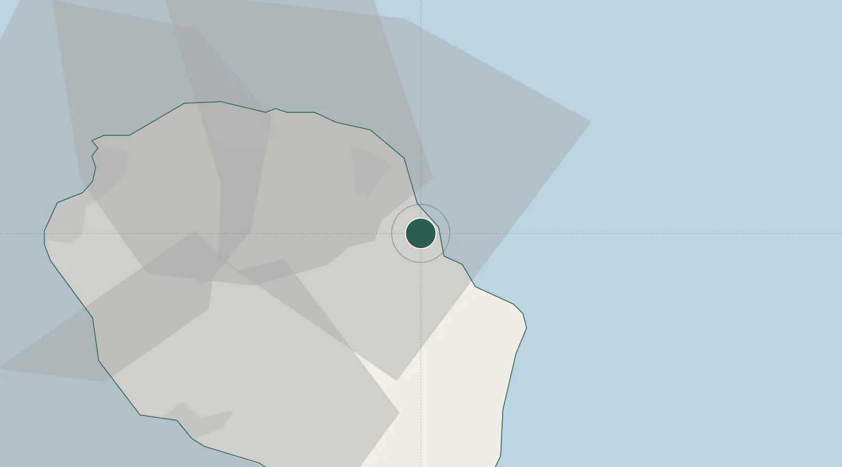
Location
Nearby Logistics Neighbours
Cities
- 1Sainte-Rose14 km
- 2Sainte-Suzanne19 km
- 3Saint-Denis26 km
- 4Possession41 km
- 5Le Port43 km
Ports
- 1Saint-Denis33 km
- 2Saint-Pierre44 km
- 3Port Louis210 km
- 4Toamasina733 km
- 5Mananjary766 km
Airports
Trade Zones