Transport Functions
Port
Road
Hub Profile
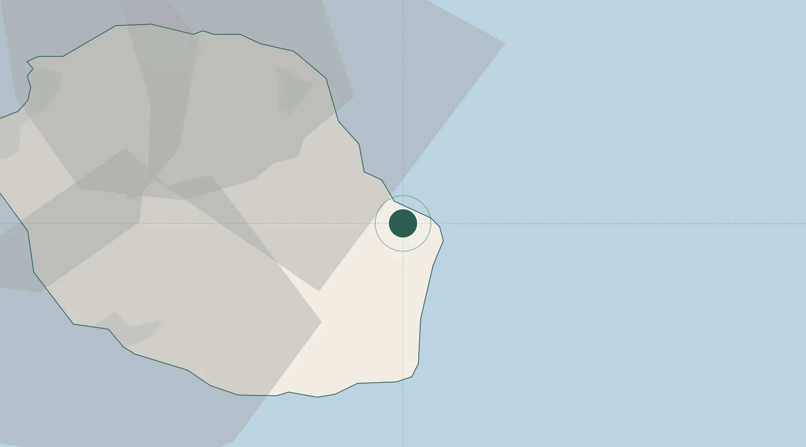
Place type
Populated place
Region
Réunion
Population
7,035
Time zone
Indian/Reunion
Elevation
33 m
Location
Nearby Logistics Neighbours
Cities
- 1Saint-Benoît14 km
- 2Sainte-Suzanne33 km
- 3Saint-Denis39 km
- 4Possession53 km
- 5Le Port55 km
Ports
- 1Saint-Pierre42 km
- 2Saint-Denis47 km
- 3Port Louis208 km
- 4Toamasina745 km
- 5Mananjary774 km
Airports
Trade Zones