Transport Functions
Multimodal
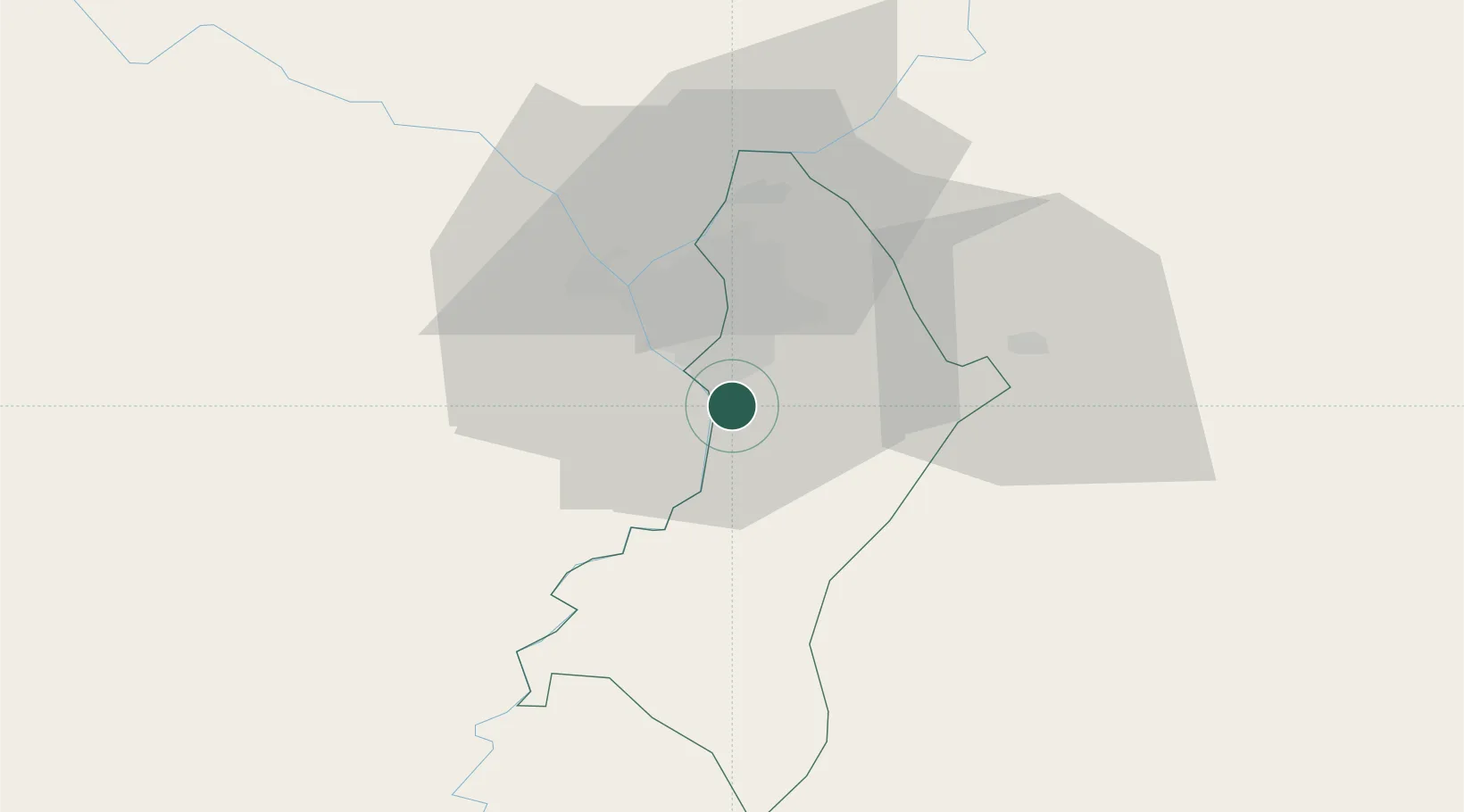
Hub Profile
Place type
Populated place
Region
Central Department
Time zone
America/Asuncion
Elevation
126 m
Location
Nearby Logistics Neighbours
Cities
- 1San Antonio2 km
- 2Puerto Sara2 km
- 3Terport (San Antonio)13 km
- 4Villeta13 km
- 5Asunción16 km
Ports
- 1Puerto De Asuncion25 km
- 2Concordia663 km
- 3Colon755 km
- 4Santa Fe756 km
- 5Parana756 km
Airports
Trade Zones
- 1Zona Franca Global283 km
- 2Zona Franca Internacional284 km
- 3Zona Franca Puerto Iguazu Free Trade Zone298 km
- 4Rivera Free Zone641 km
- 5ZPE de Bataguassú (MS)669 km
DatabookThe Record of Consolidated Knowledge
Paraguay beyond logistics?