Transport Functions
Port
Hub Profile
Place type
Populated place
Region
Porto
Population
14,443
Time zone
Europe/Lisbon
Elevation
50 m
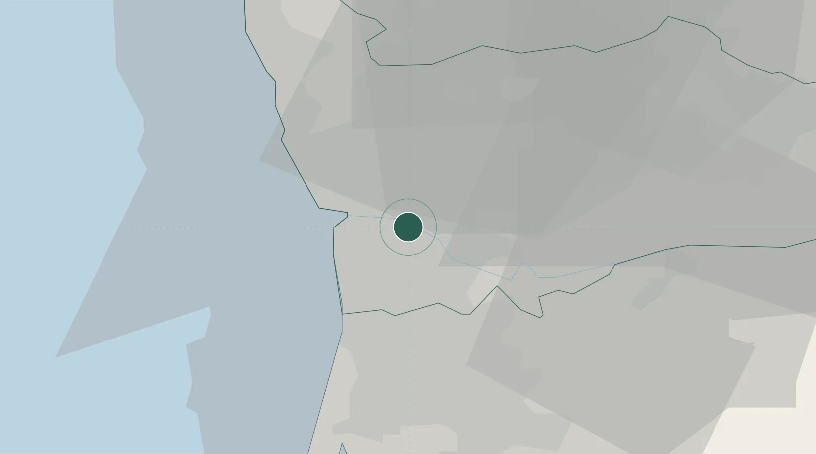
Location
Nearby Logistics Neighbours
Cities
- 1Freixieiro2 km
- 2Avintes2 km
- 3Maceda4 km
- 4Vila Nova de Gaia4 km
- 5Fânzeres5 km
Ports
- 1Oporto9 km
- 2Porto De Leixoes13 km
- 3Aveiro54 km
- 4Viana Do Castelo67 km
- 5Figueira Da Foz112 km
Airports
- 1Francisco de Sá Carneiro Airport16 km
- 2Vilar de Luz Airfield17 km
- 3Ovar Air Base25 km
- 4Braga Municipal Aerodrome52 km
- 5Vila Real Airport73 km
Trade Zones
DatabookThe Record of Consolidated Knowledge
Portugal beyond logistics?