UN/LOCODE hub · Portugal
PTVNG
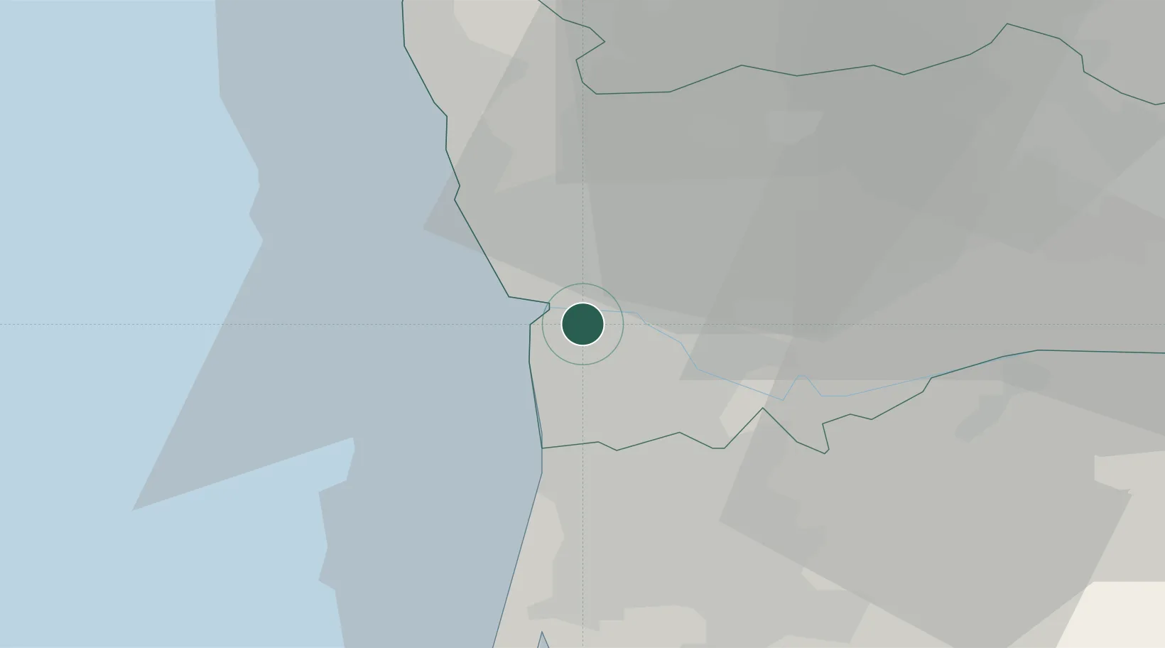
Vila Nova de Gaia
41.1333°, -8.6167°
70,811
Population
2
Transport functions
Transport Functions
Rail
Road
Hub Profile
Place type
Provincial seat
Region
Porto
Population
70,811
Time zone
Europe/Lisbon
Elevation
122 m
Location
Nearby Logistics Neighbours
Cities
- 1São Pedro da Afurada1 km
- 2Freixieiro3 km
- 3Valbom4 km
- 4Vilar do Paraíso6 km
- 5Maceda6 km
Ports
- 1Oporto5 km
- 2Porto De Leixoes9 km
- 3Aveiro54 km
- 4Viana Do Castelo66 km
- 5Figueira Da Foz111 km
Airports
Trade Zones
DatabookThe Record of Consolidated Knowledge
Portugal beyond logistics?