Transport Functions
Rail
Road
Hub Profile
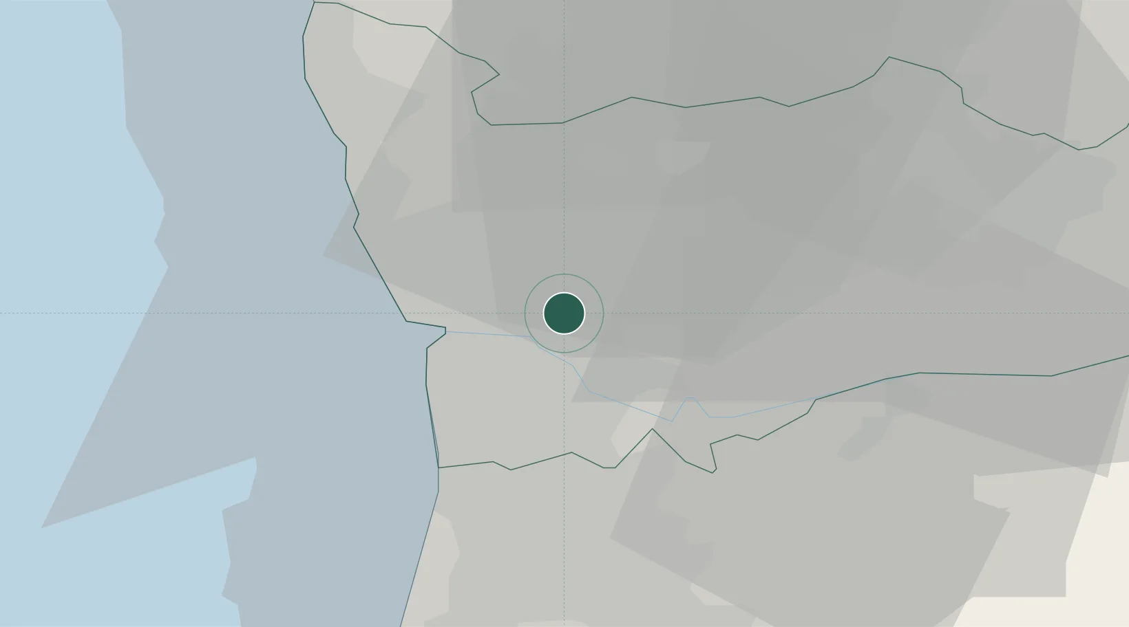
Place type
Populated place
Region
Porto
Population
23,916
Time zone
Europe/Lisbon
Elevation
91 m
Location
Nearby Logistics Neighbours
Ports
- 1Oporto11 km
- 2Porto De Leixoes14 km
- 3Aveiro58 km
- 4Viana Do Castelo64 km
- 5Figueira Da Foz116 km
Airports
- 1Vilar de Luz Airfield12 km
- 2Francisco de Sá Carneiro Airport15 km
- 3Ovar Air Base29 km
- 4Braga Municipal Aerodrome47 km
- 5Vila Real Airport69 km
Trade Zones
DatabookThe Record of Consolidated Knowledge
Portugal beyond logistics?