Transport Functions
Rail
Road
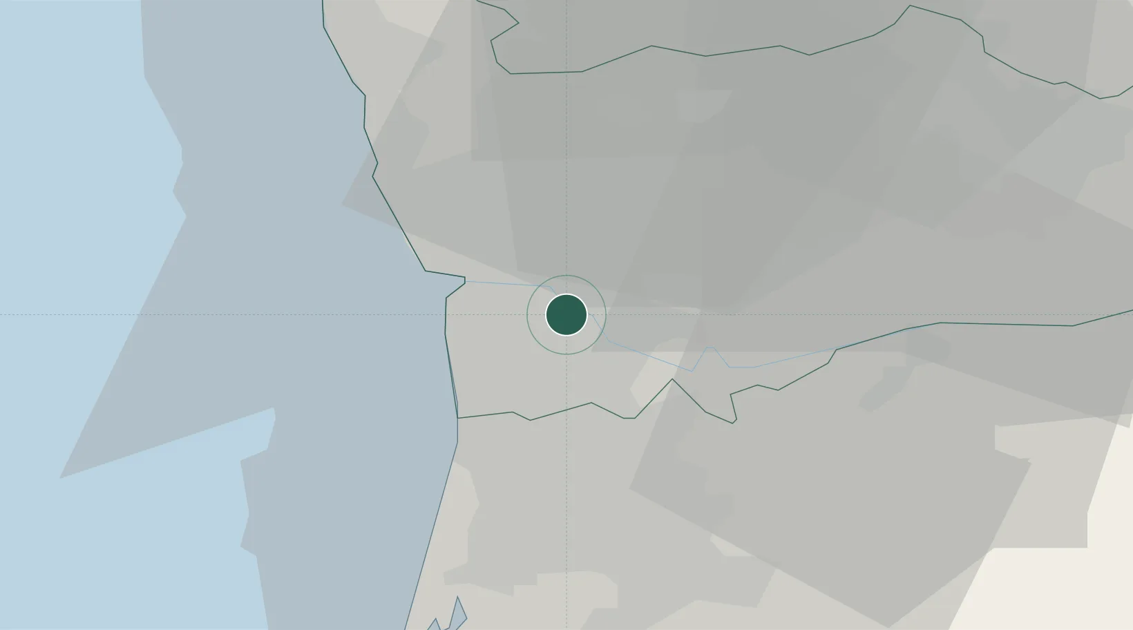
Hub Profile
Place type
Populated place
Region
Porto
Population
11,577
Time zone
Europe/Lisbon
Elevation
107 m
Location
Nearby Logistics Neighbours
Cities
- 1Valbom2 km
- 2Freixieiro3 km
- 3Fânzeres6 km
- 4Maceda6 km
- 5Vila Nova de Gaia6 km
Ports
- 1Oporto11 km
- 2Porto De Leixoes15 km
- 3Aveiro53 km
- 4Viana Do Castelo69 km
- 5Figueira Da Foz110 km
Airports
Trade Zones
DatabookThe Record of Consolidated Knowledge
Portugal beyond logistics?