Transport Functions
Multimodal
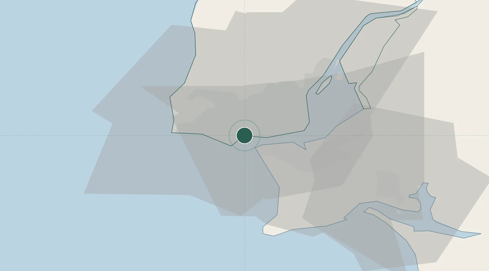
Hub Profile
Place type
Populated place
Region
Lisbon
Population
4,693
Time zone
Europe/Lisbon
Elevation
87 m
Location
Nearby Logistics Neighbours
Cities
- 1Caxias0 km
- 2Paço de Arcos2 km
- 3Porto Salvo2 km
- 4Carnaxide3 km
- 5Linda-a-Velha3 km
Ports
- 1Lisboa10 km
- 2Setubal39 km
- 3Sines91 km
- 4Figueira Da Foz166 km
- 5Lagos187 km
Airports
- 1Cascais Airport7 km
- 2Sintra Air Base15 km
- 3Lisbon Humberto Delgado Airport16 km
- 4Montijo Air Base22 km
- 5Alverca Air Base30 km
Trade Zones
- 1VGP Park Santa Maria da Feira256 km
- 2Puerto de Huelva259 km
- 3Zona Livre Tecnológica Masotinhos280 km
- 4Zona Franca de Sevilla325 km
- 5Zona Franca de Cádiz361 km
DatabookThe Record of Consolidated Knowledge
Portugal beyond logistics?