Transport Functions
Rail
Road
Hub Profile
Place type
Provincial seat
Region
Viseu
Population
8,800
Time zone
Europe/Lisbon
Elevation
305 m
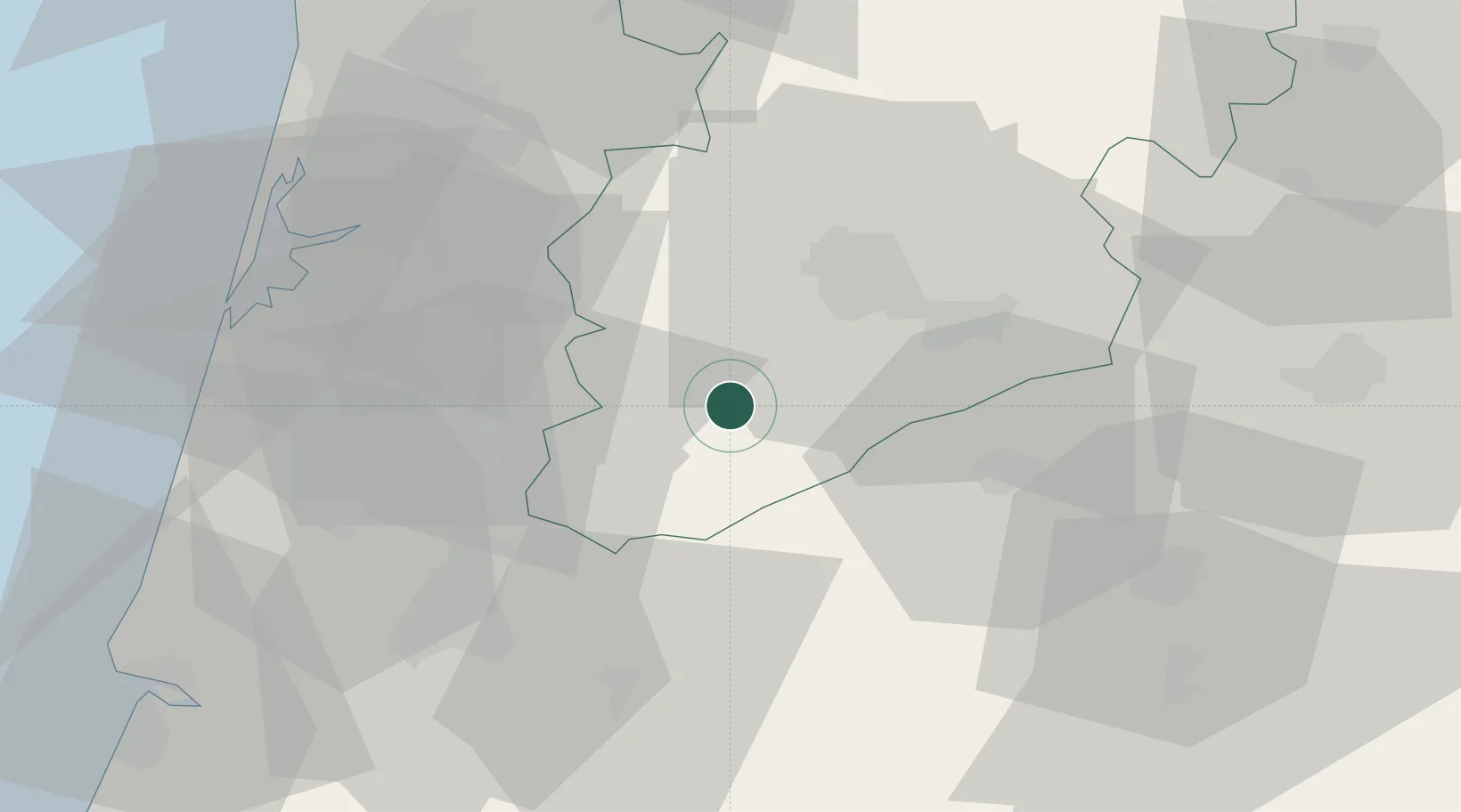
Location
Nearby Logistics Neighbours
Cities
- 1Cabanas de Viriato10 km
- 2Carregal do Sal12 km
- 3Canas de Senhorim16 km
- 4Mortágua18 km
- 5Vilar Seco19 km
Ports
- 1Aveiro50 km
- 2Figueira Da Foz77 km
- 3Oporto86 km
- 4Porto De Leixoes91 km
- 5Viana Do Castelo146 km
Airports
Trade Zones
- 1VGP Park Santa Maria da Feira62 km
- 2Zona Livre Tecnológica Masotinhos89 km
- 3Zona Franca de Vigo199 km
- 4Depósito Franco de La Coruña317 km
- 5Puerto de Huelva375 km
DatabookThe Record of Consolidated Knowledge
Portugal beyond logistics?