UN/LOCODE hub · Portugal
PTCNI
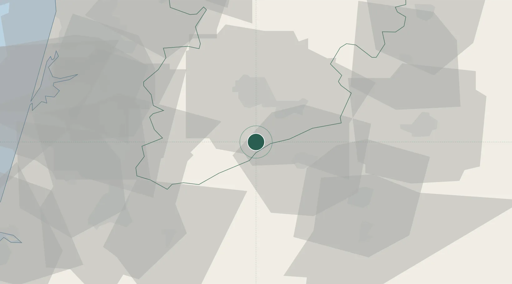
Canas de Senhorim
40.5000°, -7.9000°
3,509
Population
2
Transport functions
Transport Functions
Rail
Road
Hub Profile
Place type
Populated place
Region
Viseu
Population
3,509
Time zone
Europe/Lisbon
Elevation
357 m
Location
Nearby Logistics Neighbours
Cities
- 1Nelas6 km
- 2Vilar Seco6 km
- 3Cabanas de Viriato8 km
- 4Carregal do Sal11 km
- 5Tondela16 km
Ports
- 1Aveiro66 km
- 2Figueira Da Foz89 km
- 3Oporto97 km
- 4Porto De Leixoes102 km
- 5Viana Do Castelo155 km
Airports
Trade Zones
DatabookThe Record of Consolidated Knowledge
Portugal beyond logistics?