UN/LOCODE hub · Portugal
PTCRA
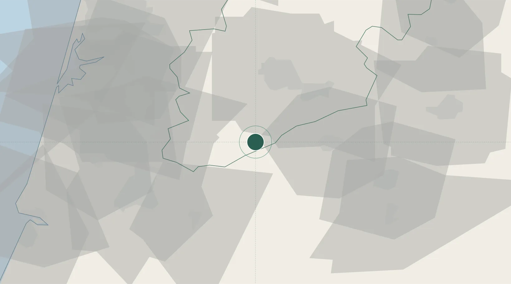
Carregal do Sal
40.4333°, -8.0000°
5,600
Population
2
Transport functions
Transport Functions
Rail
Road
Hub Profile
Place type
Provincial seat
Region
Viseu
Population
5,600
Time zone
Europe/Lisbon
Elevation
307 m
Location
Nearby Logistics Neighbours
Cities
- 1Cabanas de Viriato4 km
- 2Canas de Senhorim11 km
- 3Tondela12 km
- 4Nelas17 km
- 5Vilar Seco17 km
Ports
- 1Aveiro60 km
- 2Figueira Da Foz79 km
- 3Oporto98 km
- 4Porto De Leixoes102 km
- 5Viana Do Castelo157 km
Airports
Trade Zones
- 1VGP Park Santa Maria da Feira73 km
- 2Zona Livre Tecnológica Masotinhos101 km
- 3Zona Franca de Vigo209 km
- 4Depósito Franco de La Coruña327 km
- 5Puerto de Huelva364 km
DatabookThe Record of Consolidated Knowledge
Portugal beyond logistics?