UN/LOCODE hub · Portugal
PTCEV
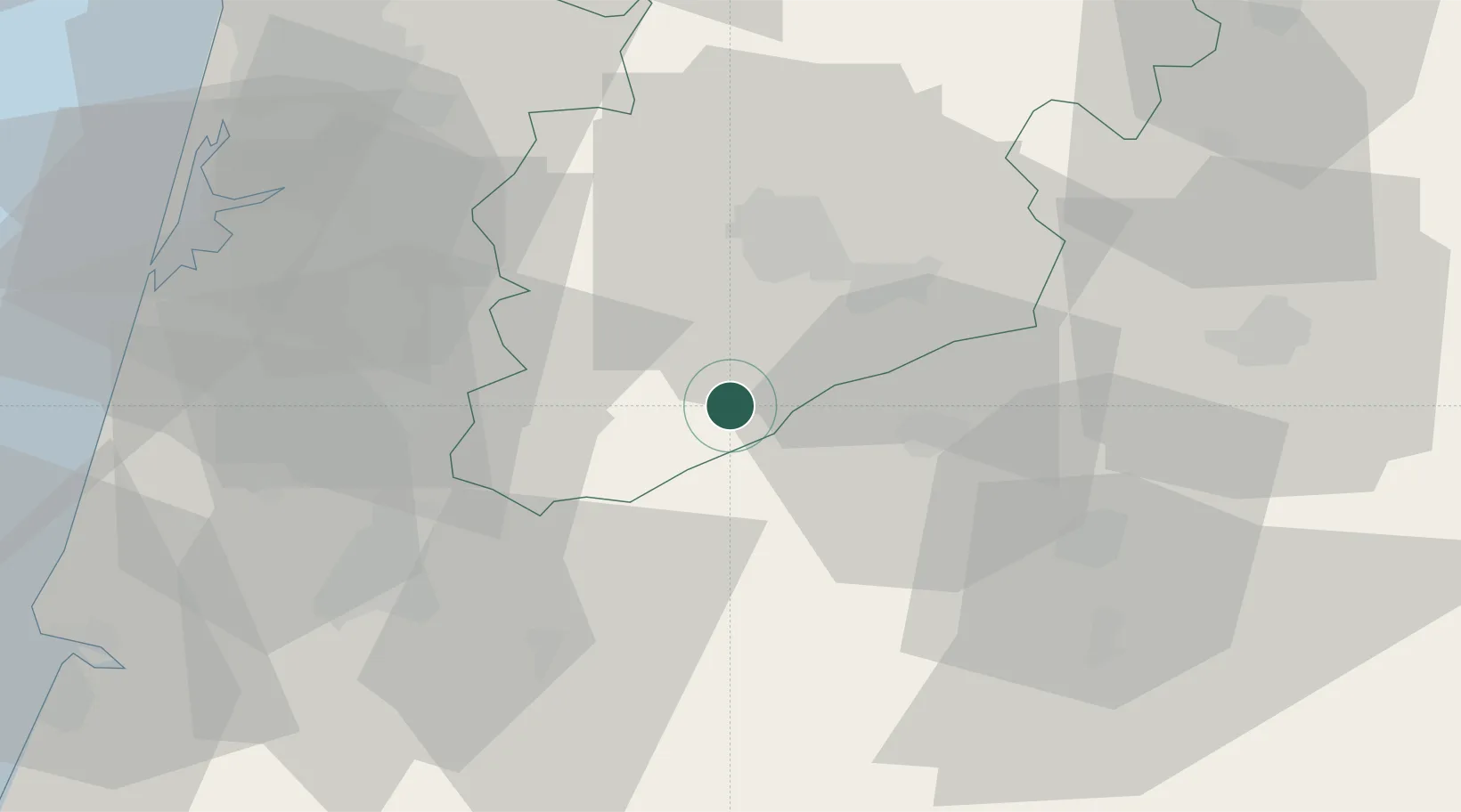
Cabanas de Viriato
40.4667°, -7.9833°
1,533
Population
1
Transport functions
Transport Functions
Multimodal
Hub Profile
Place type
Populated place
Region
Viseu
Population
1,533
Time zone
Europe/Lisbon
Elevation
311 m
Location
Nearby Logistics Neighbours
Cities
- 1Carregal do Sal4 km
- 2Canas de Senhorim8 km
- 3Tondela10 km
- 4Nelas14 km
- 5Vilar Seco14 km
Ports
- 1Aveiro60 km
- 2Figueira Da Foz82 km
- 3Oporto95 km
- 4Porto De Leixoes100 km
- 5Viana Do Castelo155 km
Airports
Trade Zones
- 1VGP Park Santa Maria da Feira71 km
- 2Zona Livre Tecnológica Masotinhos98 km
- 3Zona Franca de Vigo206 km
- 4Depósito Franco de La Coruña323 km
- 5Puerto de Huelva368 km
DatabookThe Record of Consolidated Knowledge
Portugal beyond logistics?