Transport Functions
Rail
Road
Multimodal
Hub Profile
Place type
Provincial seat
Region
Viseu
Time zone
Europe/Lisbon
Elevation
100 m
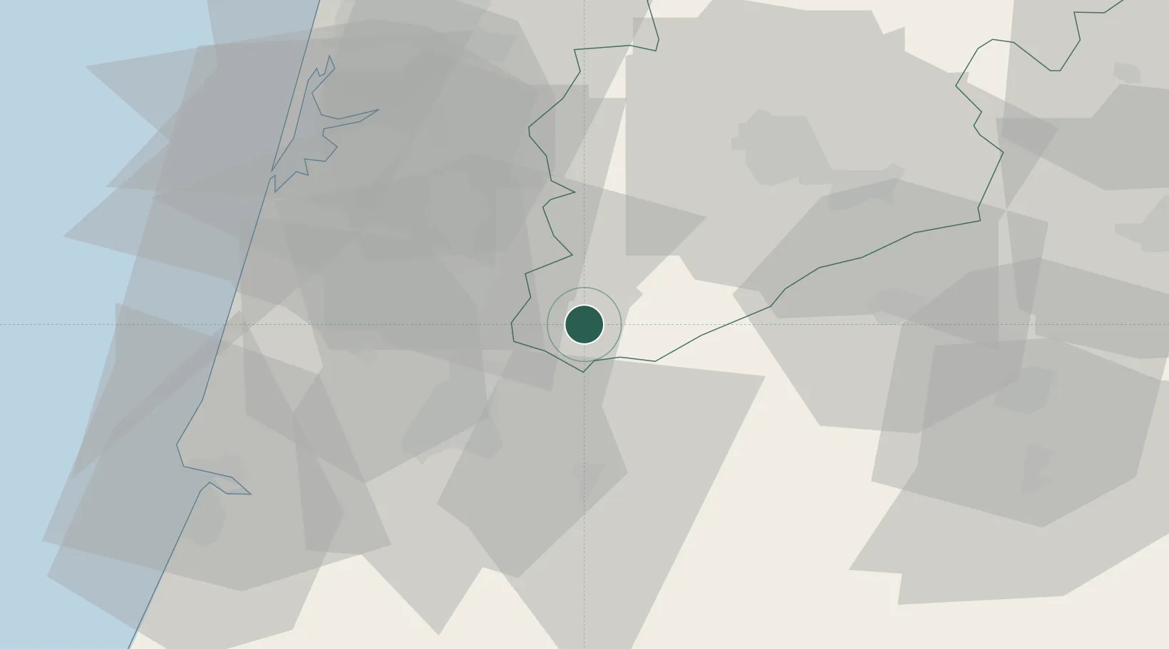
Location
Nearby Logistics Neighbours
Cities
- 1Penacova15 km
- 2Tondela18 km
- 3Mealhada19 km
- 4Carregal do Sal20 km
- 5Aguada de Baixo21 km
Ports
- 1Aveiro45 km
- 2Figueira Da Foz59 km
- 3Oporto91 km
- 4Porto De Leixoes96 km
- 5Viana Do Castelo153 km
Airports
Trade Zones
- 1VGP Park Santa Maria da Feira65 km
- 2Zona Livre Tecnológica Masotinhos94 km
- 3Zona Franca de Vigo208 km
- 4Depósito Franco de La Coruña329 km
- 5Puerto de Huelva366 km
DatabookThe Record of Consolidated Knowledge
Portugal beyond logistics?