Transport Functions
Rail
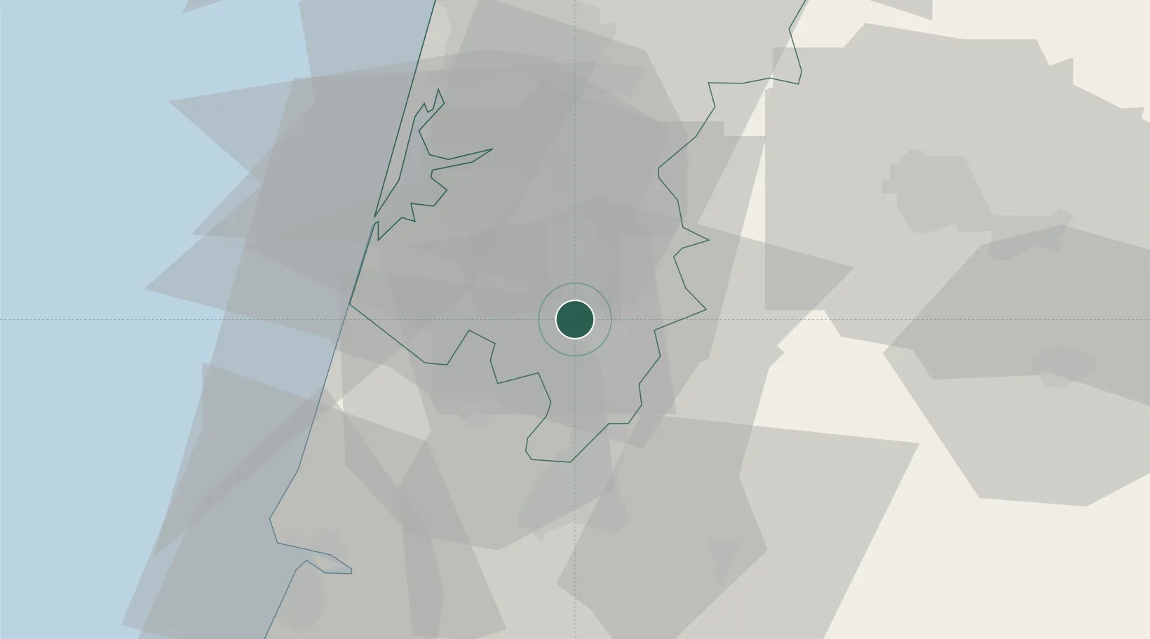
Hub Profile
Place type
Populated place
Region
Aveiro
Time zone
Europe/Lisbon
Elevation
34 m
Location
Nearby Logistics Neighbours
Cities
- 1Amoreira da Gândara7 km
- 2Águeda7 km
- 3Bustos13 km
- 4Nariz13 km
- 5Mealhada15 km
Ports
- 1Aveiro24 km
- 2Figueira Da Foz52 km
- 3Oporto75 km
- 4Porto De Leixoes79 km
- 5Viana Do Castelo137 km
Airports
Trade Zones
- 1VGP Park Santa Maria da Feira49 km
- 2Zona Livre Tecnológica Masotinhos78 km
- 3Zona Franca de Vigo194 km
- 4Depósito Franco de La Coruña318 km
- 5Puerto de Huelva383 km
DatabookThe Record of Consolidated Knowledge
Portugal beyond logistics?